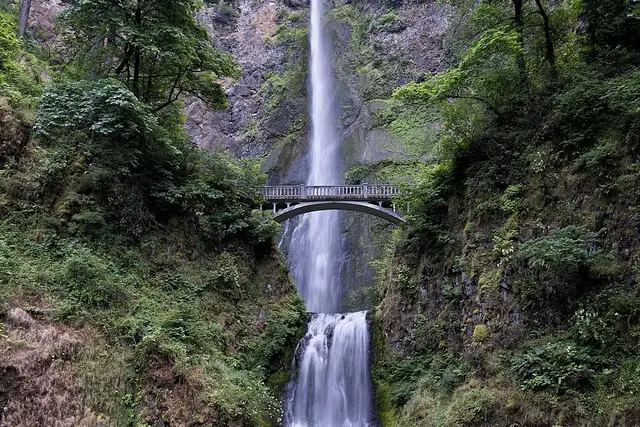
The best-known waterfalls in Oregon
Ordered by how much has been written about each place. The numbers match the map.







.jpg)
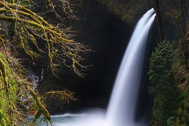

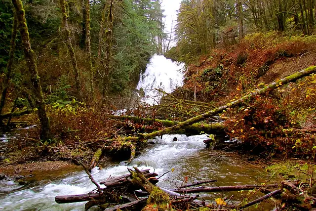
.jpg)
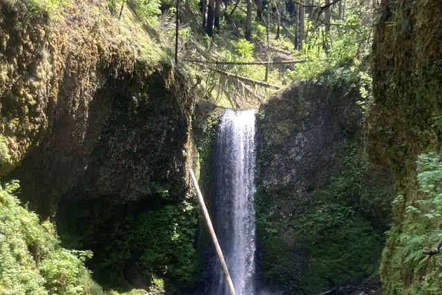

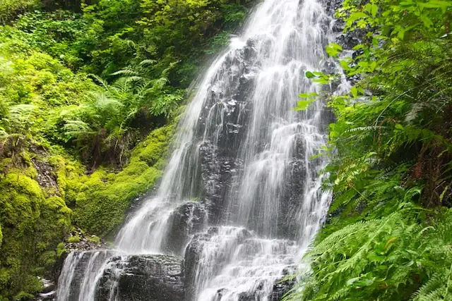
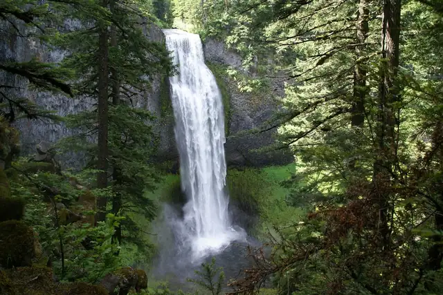
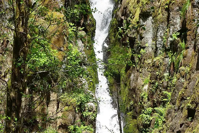
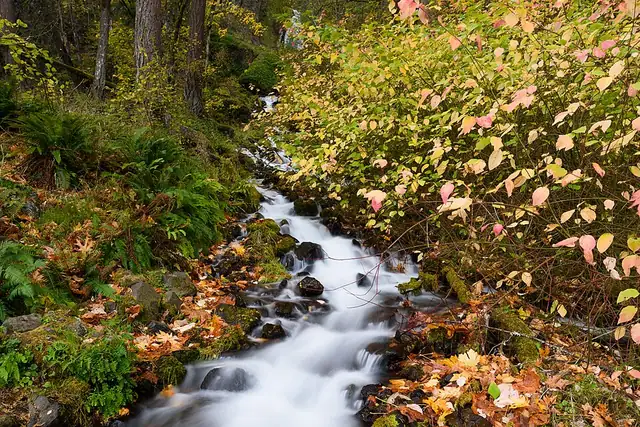
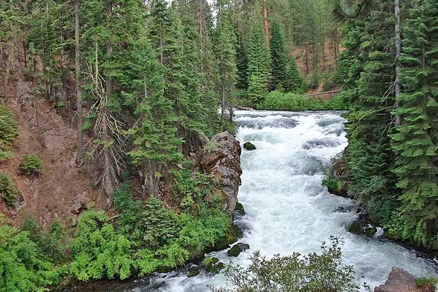
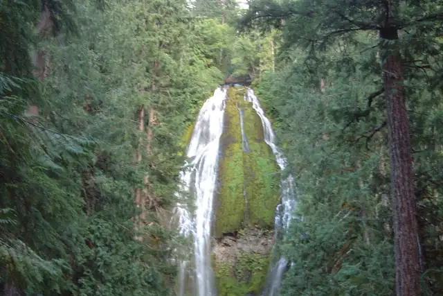
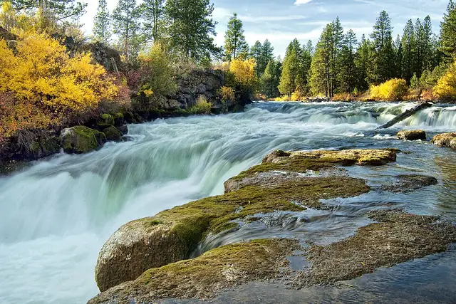
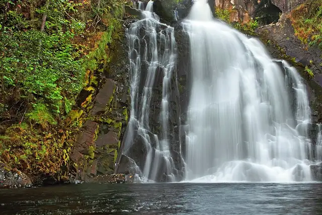
The Columbia River Gorge is the obvious start. Multnomah Falls, Wahkeena Falls, Wiesendanger Falls, Fairy Falls and Bridal Veil Falls are all within 19 km of Washougal, across the river on the Washington side; Central Oregon has Benham Falls and Dillon Falls within 15 km of Bend. Salt Creek Falls sits at 1,189 meters in the Cascades, and Ki-a-Kuts Falls is 22 km from Forest Grove in the Coast Range.
RLQuest knows 267 named waterfalls in Oregon, only 14 of them with a Wikipedia article. Much of the list is small falls on creeks with no town of any size nearby. That is a feature for the app's longer quests. Your recorded route confirms the hike in, and the forest tiles you walked through are yours on the map afterward.
Every dot is a place. The numbers mark the highlights listed below.
Ordered by how much has been written about each place. The numbers match the map.
A selection, best known first, with the nearest larger town next to each.
and 215 more
RLQuest knows these places too. Which means:
Some of your daily quests lead to a real place near you. The app uses your location to check you were really there.
If you're the first person in RLQuest to complete a quest at a place, it's your first find. The Place Book shows you which kinds of place you're still missing.
Every walk uncovers tiles, each about 350 m across. Over time you can see which corners you know well, and where you've never set foot.


Place data © OpenStreetMap contributors, available under the Open Database License. Borders: geoBoundaries (CC BY 4.0); Canada: Statistics Canada. As of 2026-10-02. The list shows the places RLQuest knows and isn't complete. Photos come from Wikimedia Commons; author and license are credited on each photo.
.jpg)