Worth the trip around Baltimore
The places with the most to tell about. The numbers match the map.
.jpg)
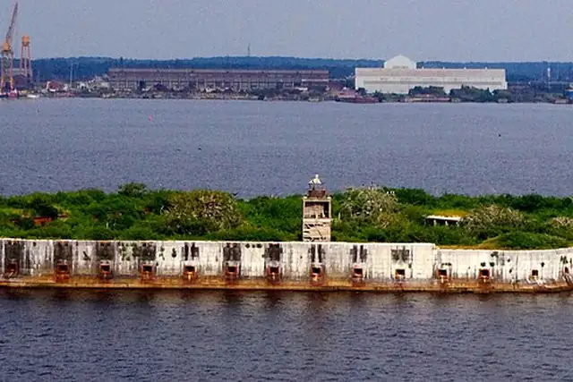

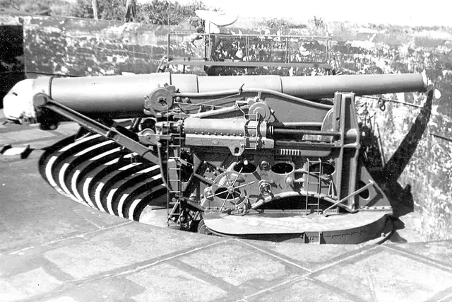

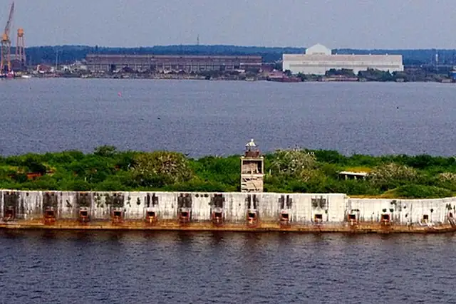

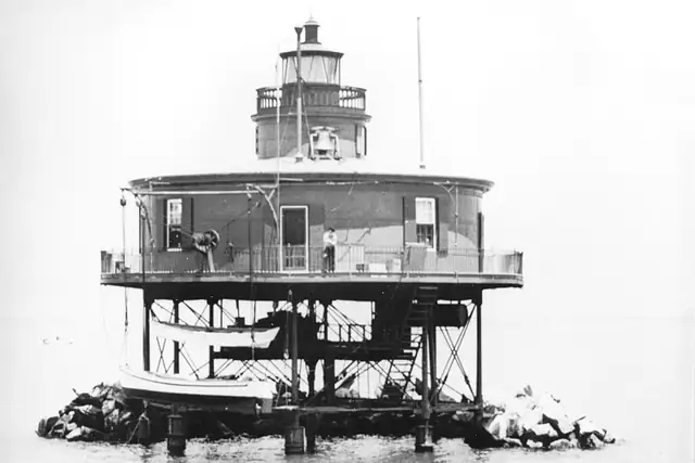
Fort McHenry is 4.1 km from Baltimore's center, with Fort Armistead at 11.3 km and Fort Carroll on its island at 11.6 km. Lighthouses stack up along the Patapsco: Seven Foot Knoll Lighthouse at 1 km, Lazaretto Point Light at 4.7 km, Fort Carroll Lighthouse, and the four Craighill Channel range lights between 15 and 22 km. The Washington Monument at 0.8 km and the Battle Monument at the very center lead 38 monuments.
Fourteen bunkers is the odd figure, most of them batteries, the Water Battery at 4.2 km and the Battery Nicholson group around 18 km. Round Falls at 3.7 km is a waterfall inside the city, and Federal Hill, 1.2 km from the center, is the hill to start with. The app checks that you climbed it.
Each hexagon covers a little over 5 square kilometers. The brighter it glows, the more places are inside it. The numbers mark the highlights listed below; the dot in the middle is the center of Baltimore.
Few places to many
The places with the most to tell about. The numbers match the map.
A selection for each type, best known first. The number next to each heading counts everything RLQuest knows within the radius.
and 18 more
and 1 more
and 25 more
and 26 more
and 1 more
and 3 more
and 8 more
RLQuest knows these places too. Which means:
Some of your daily quests lead to a real place near you. The app uses your location to check you were really there.
If you're the first person in RLQuest to complete a quest at a place, it's your first find. The Place Book shows you which kinds of place you're still missing.
Every walk uncovers tiles, each about 350 m across. Over time you can see which corners you know well, and where you've never set foot.


Place data © OpenStreetMap contributors, available under the Open Database License. As of 2026-09-30. The list shows the places RLQuest knows and isn't complete. Photos come from Wikimedia Commons; author and license are credited on each photo.