The best-known caves in North Rhine-Westphalia
Ordered by how much has been written about each place. The numbers match the map.

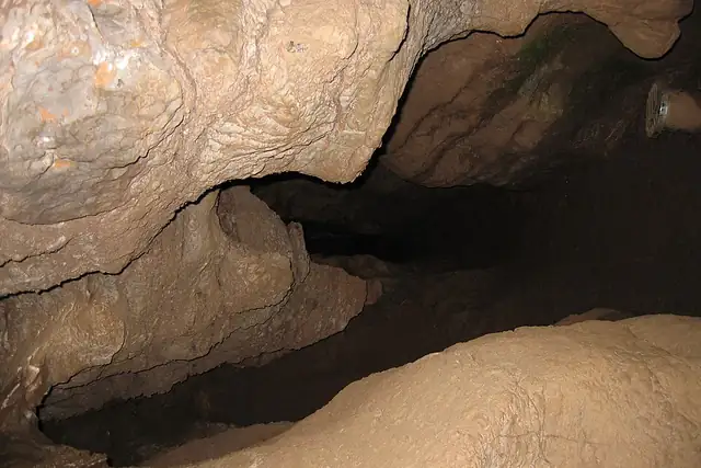

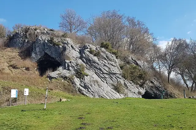

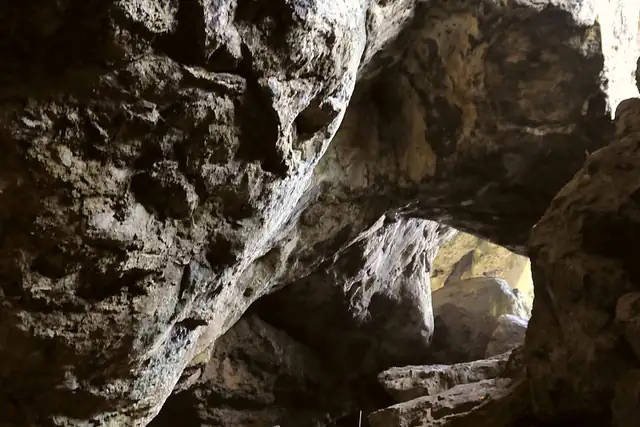

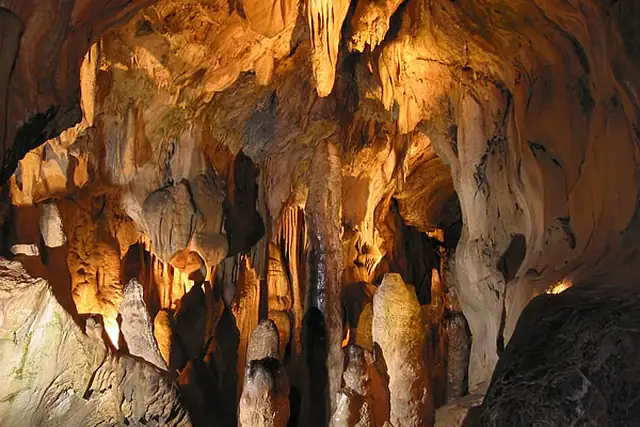

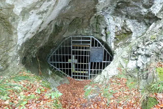

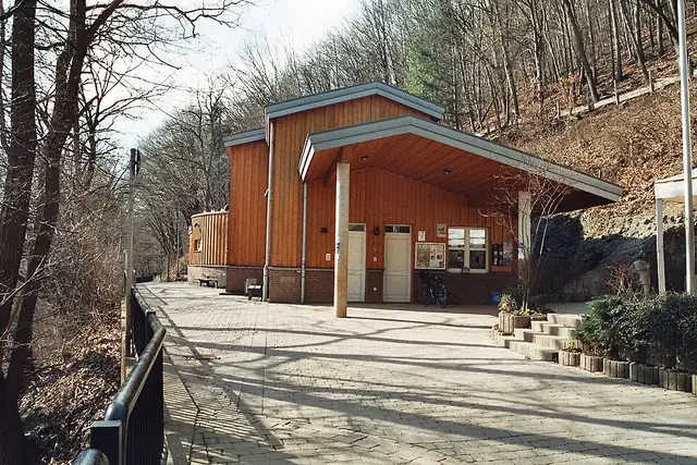

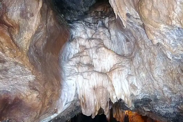

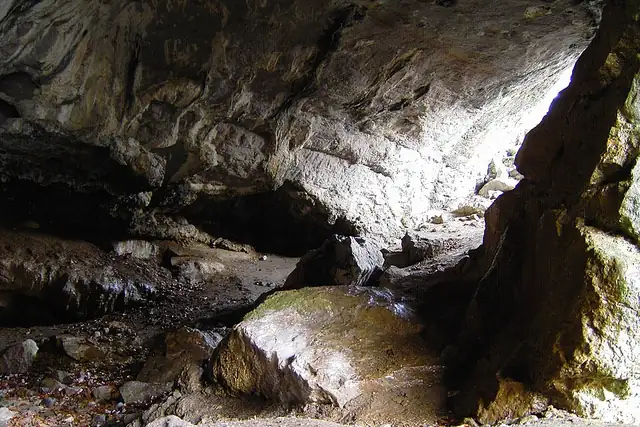

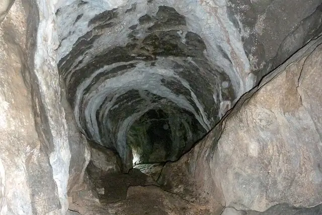

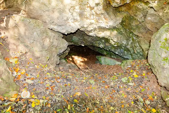

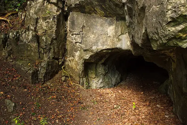
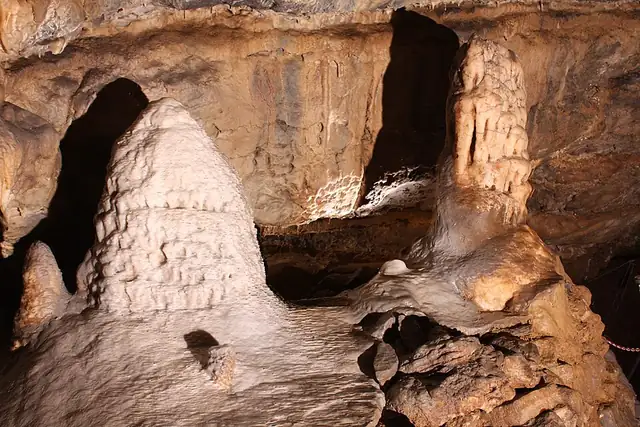
The Sauerland has most of them. Hemer is the hub: the Heinrichshöhle 1 km from town, then the Feldhofhöhle, Tunnelhöhle, Friedrichshöhle and Burghöhle around 6 km, the Balver Höhle at 9 km. Nearby, the Dechenhöhle is 4 km from Iserlohn, the Atta-Höhle 1 km from Attendorn, the Bilsteinhöhle 3 km from Warstein. The Eifel adds the Kakushöhle und Kartsteinfelsen, 5 km from Mechernich; the Aggertalhöhle is 2 km from Engelskirchen.
RLQuest knows 81 caves in North Rhine-Westphalia, 20 with a Wikipedia article. It is the second-shortest of the state's seven lists, after the 20 megalithic tombs, and far behind 614 castles and 653 viewpoints, but the densest: more than a dozen caves lie within 10 km of Hemer. That suits a day of RLQuest quests, each checked from your route, each adding tiles to the same patch of map.
Every dot is a place. The numbers mark the highlights listed below.
Ordered by how much has been written about each place. The numbers match the map.
A selection, best known first, with the nearest larger town next to each.
and 29 more
RLQuest knows these places too. Which means:
Some of your daily quests lead to a real place near you. The app uses your location to check you were really there.
If you're the first person in RLQuest to complete a quest at a place, it's your first find. The Place Book shows you which kinds of place you're still missing.
Every walk uncovers tiles, each about 350 m across. Over time you can see which corners you know well, and where you've never set foot.


Place data © OpenStreetMap contributors, available under the Open Database License. Borders: geoBoundaries (CC BY 4.0); Canada: Statistics Canada. As of 2026-10-02. The list shows the places RLQuest knows and isn't complete. Photos come from Wikimedia Commons; author and license are credited on each photo.
