The best-known caves in England
Ordered by how much has been written about each place. The numbers match the map.
.jpg)
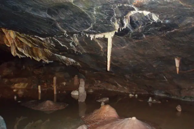

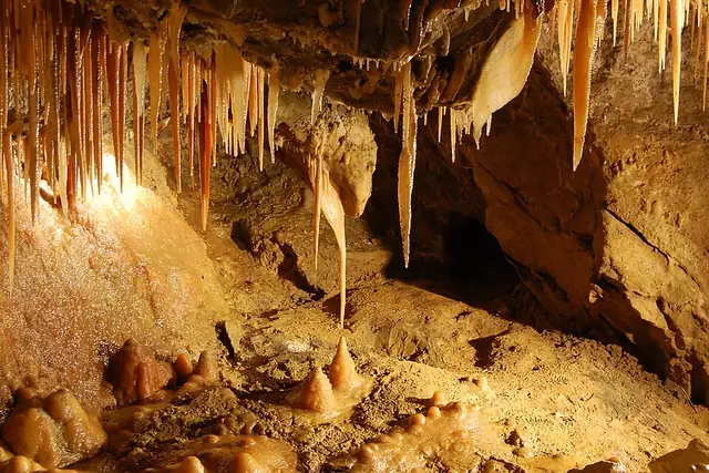

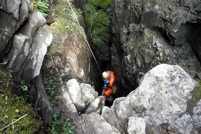

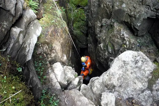
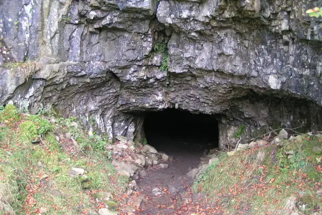

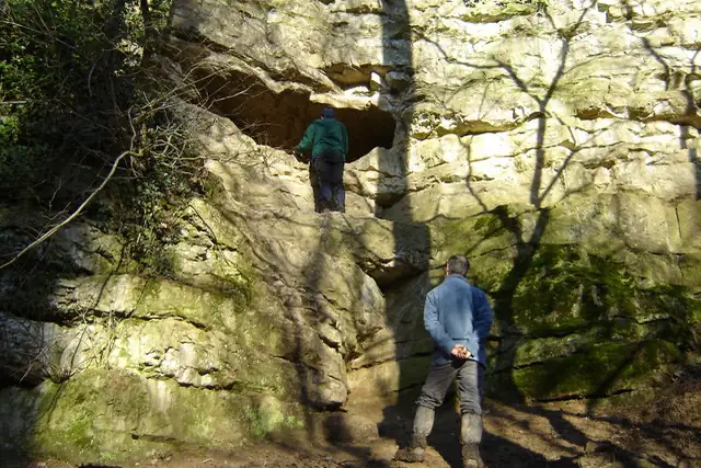

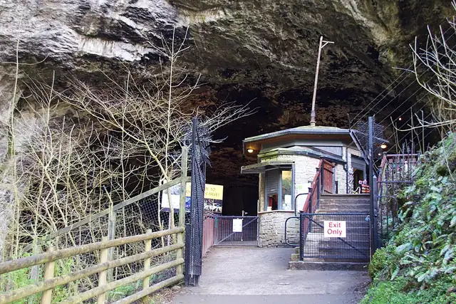

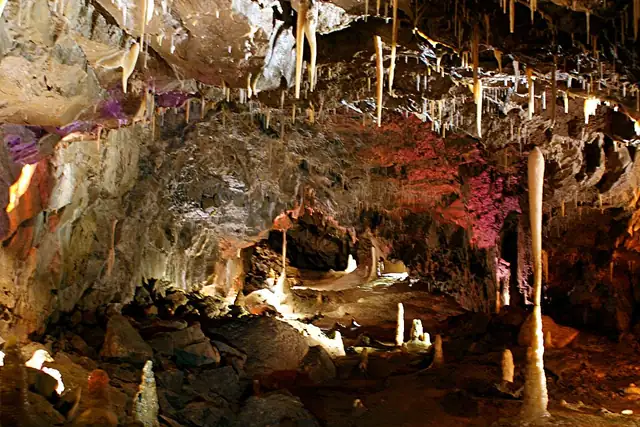

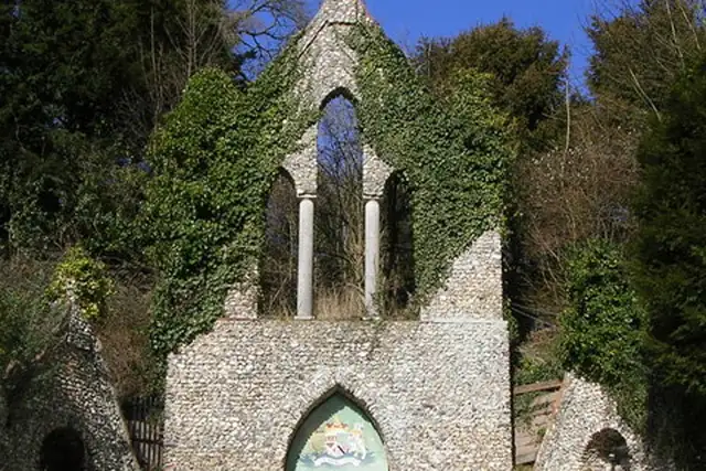

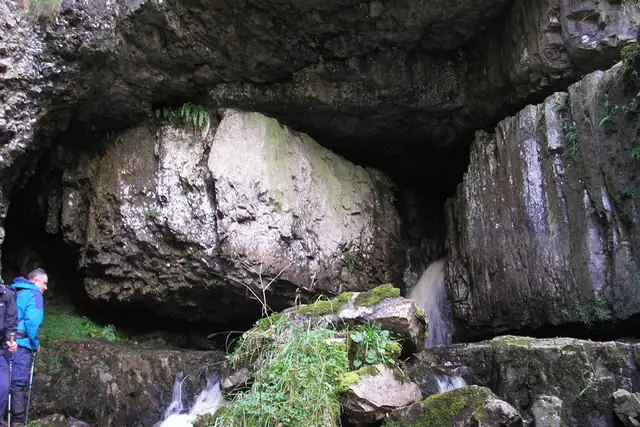

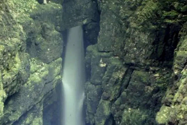
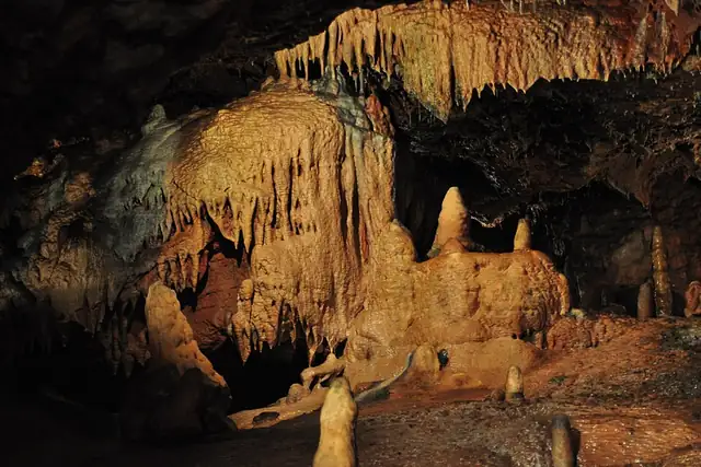
England's caves fall into a few districts. In the Peak District, Treak Cliff Cavern, the Devil's Arse (Peak Cavern) and Giants Hole are all within 5 km of High Peak. The Yorkshire Dales supply Gaping Gill, Yordas Cave, Great Douk and Weathercote Cave, 20 to 30 km from Kendal or Lancaster. Down south there are Kents Cavern at Torquay, Gough's Cave 16 km from Weston-super-Mare, and The Hellfire Caves near High Wycombe.
Of 492 named caves RLQuest knows in England, only 50 have a Wikipedia article; a good many are pots and holes rather than show caves. England also has 266 waterfalls and 690 viewpoints with pages here. A cave entrance is a precise spot, which suits the app: the quest is done when your recorded walk reaches it, and not before.
Every dot is a place. The numbers mark the highlights listed below.
Ordered by how much has been written about each place. The numbers match the map.
A selection, best known first, with the nearest larger town next to each.
and 440 more
RLQuest knows these places too. Which means:
Some of your daily quests lead to a real place near you. The app uses your location to check you were really there.
If you're the first person in RLQuest to complete a quest at a place, it's your first find. The Place Book shows you which kinds of place you're still missing.
Every walk uncovers tiles, each about 350 m across. Over time you can see which corners you know well, and where you've never set foot.


Place data © OpenStreetMap contributors, available under the Open Database License. Borders: geoBoundaries (CC BY 4.0); Canada: Statistics Canada. As of 2026-10-02. The list shows the places RLQuest knows and isn't complete. Photos come from Wikimedia Commons; author and license are credited on each photo.
