The best-known viewpoints in England
Ordered by how much has been written about each place. The numbers match the map.







.jpg)
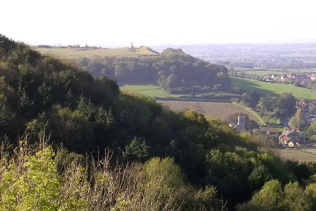

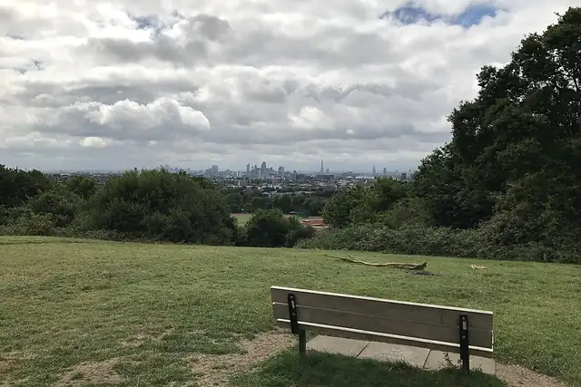

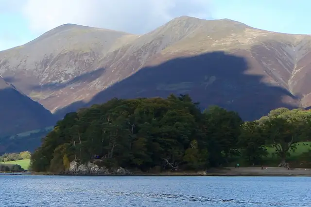

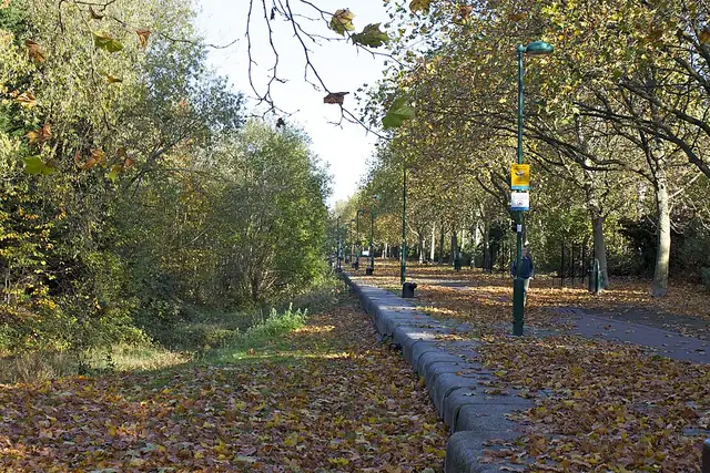
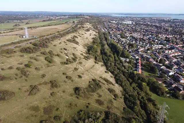
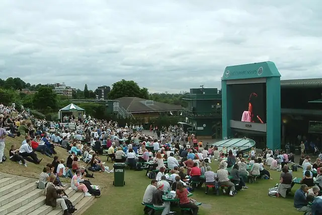
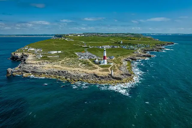
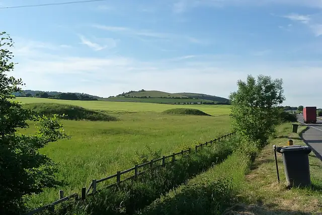
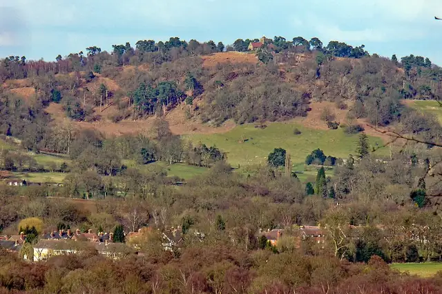
Viewpoints are the loosest category on the site, and England's list shows it. Parliament Hill, 2 km from Chalk Farm, and Henman Hill near Earlsfield are London lawns with a view; Stave Hill by Shadwell tops out at 9 meters. Elsewhere the ground rises: St Martha's Hill is 3 km from Guildford, Portsdown Hill 4 km from Waterlooville, and Montacute Castle near Yeovil reaches 120 meters. On the coast there are Portland Bill and Ness Point at Lowestoft.
RLQuest knows 690 named viewpoints in England, but only 21 have a Wikipedia article: this is a list of what people mark on a map. The castles (511) and ruins (783) have pages of their own. In the app, a viewpoint quest ends when your route reaches the spot, and the climb up is logged as tiles you have now been to.
Every dot is a place. The numbers mark the highlights listed below.
Ordered by how much has been written about each place. The numbers match the map.
A selection, best known first, with the nearest larger town next to each.
and 638 more
RLQuest knows these places too. Which means:
Some of your daily quests lead to a real place near you. The app uses your location to check you were really there.
If you're the first person in RLQuest to complete a quest at a place, it's your first find. The Place Book shows you which kinds of place you're still missing.
Every walk uncovers tiles, each about 350 m across. Over time you can see which corners you know well, and where you've never set foot.


Place data © OpenStreetMap contributors, available under the Open Database License. Borders: geoBoundaries (CC BY 4.0); Canada: Statistics Canada. As of 2026-10-02. The list shows the places RLQuest knows and isn't complete. Photos come from Wikimedia Commons; author and license are credited on each photo.
