25 km around Birmingham

Ruins, hills and windmills near Birmingham

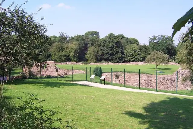
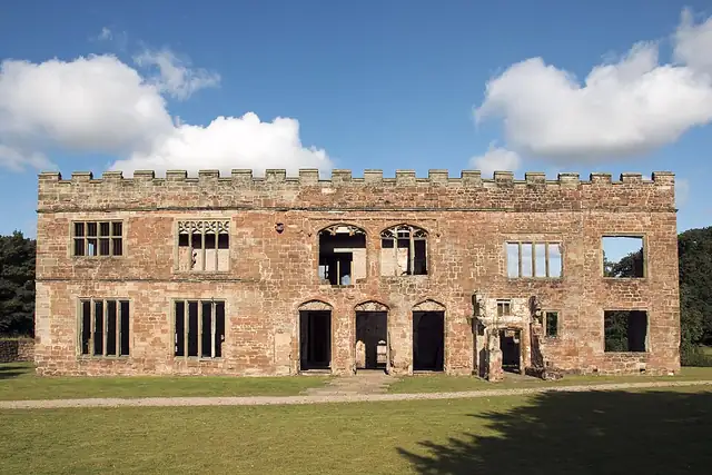
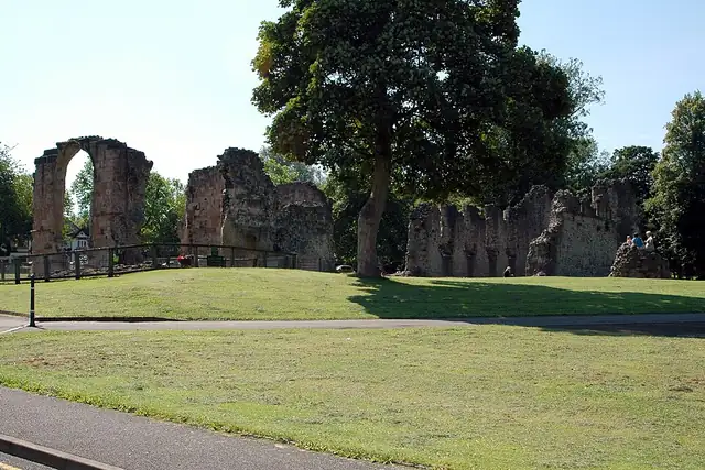
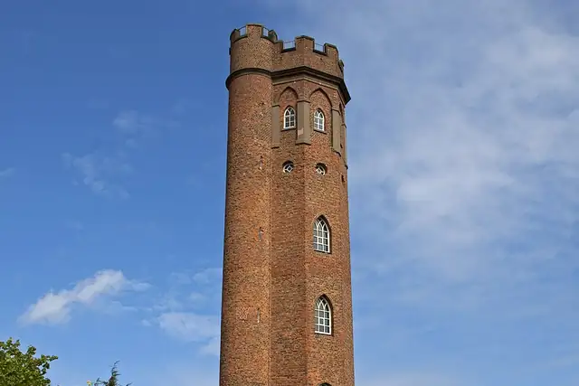
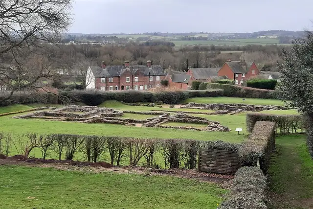
Birmingham has one castle within 25 km, Astley Castle, right at the edge at 24.3 km, so the ruins do the work: Weoley Castle at 6.4 km, Dudley Priory Ruins at 13.1 km, Clent Castle at 15.4 km and the Letocetum Roman Baths and Museum at 19.7 km. Perrott's Folly, a lookout tower from 1758, is 2.3 km from the center, and Metchley Roman Fort at 4.3 km leads the archaeology.

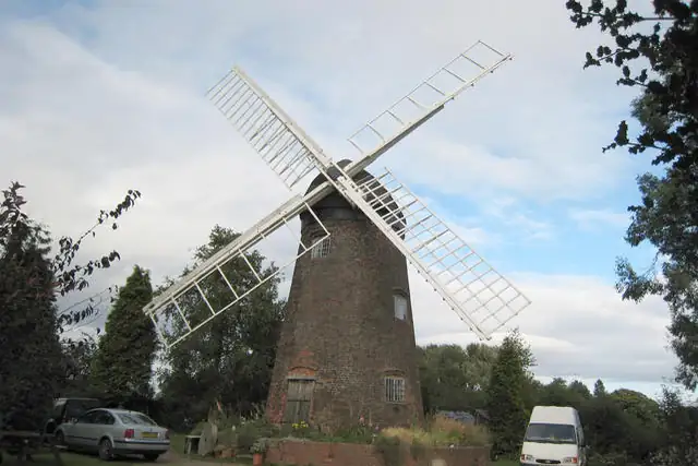
The Clent Hills supply the better peaks, Walton Hill at 14.6 km and the Wychbury Obelisk nearby, and four windmills made the list, Berkswell Windmill and Ruiton Windmill among them. Kingstanding Beacon at 7.4 km is one of 20 viewpoints. A short list, but every place on it can be a quest.

32 Monuments20 Viewpoints19 Ruins15 Archaeological sites4 Windmills4 City gates2 Watermills1 Castle

Where the places are

Each hexagon covers a little over 5 square kilometers. The brighter it glows, the more places are inside it. The numbers mark the highlights listed below; the dot in the middle is the center of Birmingham.

Few places to many

123456

Worth the trip around Birmingham

The places with the most to tell about. The numbers match the map.

Places by type

A selection for each type, best known first. The number next to each heading counts everything RLQuest knows within the radius.

Viewpoints 20

  • Erdington Reservoir5.8 km
  • River Tame Flood Gates6.6 km
  • Jugbury Hill (Barnford Hill)7.2 km
  • Kingstanding Beacon7.4 km
  • Perry Barr Reservoir8.4 km
  • Brummichum View9.4 km
  • Massey Bank Viewpoint10 km
  • Keepers Well10 km
  • Sheepwash Park Viewpoint10 km
  • Barr Beacon War Memorial10 km
  • Darby's Hill Viewpoint11 km
  • Elephant House Viewpoint (NE Birmingham to E Wolverhampton)13 km

and 8 more

Waterfalls 1

  • Flamingo Falls13 km

Ruins 19

  • Dudley Priory Ruins13 km
  • Hob's Moat8.9 km
  • St Thomas's Church1.0 km
  • Booth's Farm farmhouse7.0 km
  • Clent Castle15 km
  • Bilston Castle Mound16 km
  • Shenstone Church (ruin)18 km
  • Hopwas Hays Woodhouse21 km

and 8 more

City gates 4

  • Sandwell Arch6.0 km
  • Castle Gate;Elizabeth Gate13 km
  • Triple Gateway and Barbican13 km
  • Postern Gate13 km

Windmills 4

  • The Old Windmilll13 km
  • Ruiton Windmill16 km
  • Essington Windmill21 km

Watermills 2

  • New Hall Mill9.8 km
  • Cuttle Mill14 km

Archaeological sites 15

  • Sandwell Priory6.1 km
  • Beaudesert Castle23 km
  • King's Standing Bowl Barrow8.6 km
  • Metchley Roman Fort4.3 km
  • Burnt Mound5.5 km
  • Berry Mound Camp Iron Age Fort9.5 km

and 9 more

Monuments 32

  • Gravelly Hill Interchange4.0 km
  • Hall of Memory0.5 km
  • Lord Archer's Obelisk17 km
  • Joseph Sturge1.7 km
  • Wychbury Obelisk16 km
  • Lord Nelson0.6 km
  • Wolverhampton Pillar19 km
  • Fluted Column0.1 km
  • Aston Cross Clock2.1 km
  • John Chance Memorial Drinking Fountain6.3 km
  • War Memorial20 km

and 21 more

Summits 49

  • Brierley Hill15 km
  • Walton Hill15 km
  • Eve Hill14 km
  • Barrow Hill15 km
  • Mucklow Hill9.4 km
  • Hailstone Hill11 km
  • Turners Hill10 km
  • Haden Hill11 km
  • Mons Hill14 km
  • Lightwoods Hill6.1 km
  • Warley Hill6.7 km
  • Barnford Hill7.2 km

and 37 more

How Birmingham turns into a game

RLQuest knows these places too. Which means:

1

Places become quests

Some of your daily quests lead to a real place near you. The app uses your location to check you were really there.

2

Being first pays off

If you're the first person in RLQuest to complete a quest at a place, it's your first find. The Place Book shows you which kinds of place you're still missing.

3

The map fills in

Every walk uncovers tiles, each about 350 m across. Over time you can see which corners you know well, and where you've never set foot.

App Store Google Play

In the region

Nearby cities

Place data © OpenStreetMap contributors, available under the Open Database License. As of 2026-09-30. The list shows the places RLQuest knows and isn't complete. Photos come from Wikimedia Commons; author and license are credited on each photo.