25 km around Leeds

Castles, ruins and stone circles near Leeds

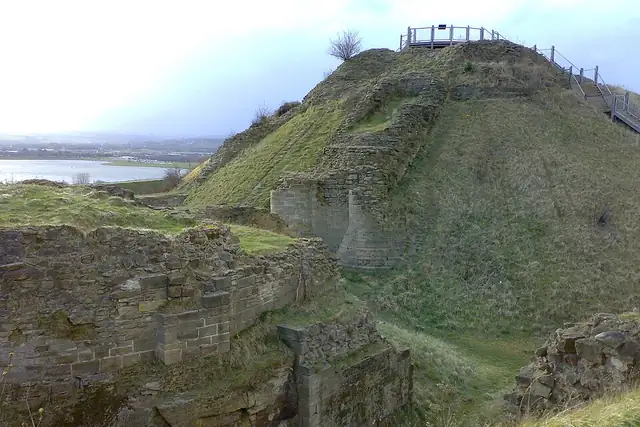
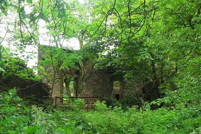
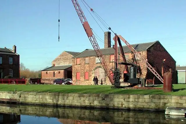
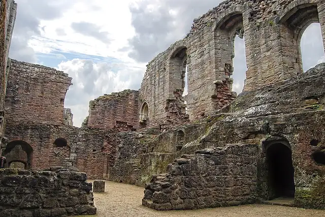
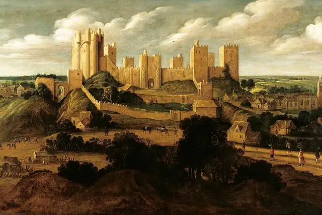
Leeds is castle country if you go 12 to 20 km out: Harewood Castle at 12.4 km, Sandal Castle at 15.8 km, Spofforth Castle at 18.7 km and Pontefract Castle at 19.6 km, with Harewood House at 11.3 km on the same list. Closer in, the Kirkstall Abbey Guest House Ruins are 4.8 km from the center and Thwaite Mills Watermill is 3.7 km. RLQuest knows 81 archaeological sites here, the Ferrybridge Henge and Rougemont Castle among them.

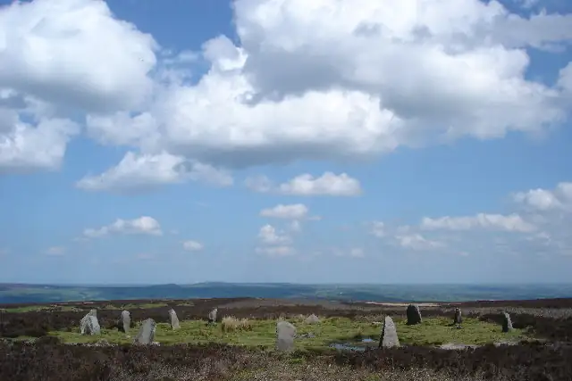
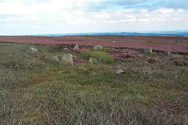
The moors hold the stone circles: the Twelve Apostles at 20.8 km, the Grubstones Circle at 19.7 km, the Backstone Circle at 21.4 km. Surprise View and Caley Crags are the viewpoints worth the climb, and the Verona Tower and Giotto Tower stand about 0.5 km from the center. Stone circles make good quests: a long walk with a definite end.

81 Archaeological sites41 Ruins30 Monuments13 Viewpoints6 Castles and palaces5 Megaliths4 Historic towers3 Windmills

Where the places are

Each hexagon covers a little over 5 square kilometers. The brighter it glows, the more places are inside it. The numbers mark the highlights listed below; the dot in the middle is the center of Leeds.

Few places to many

12345678

Worth the trip around Leeds

The places with the most to tell about. The numbers match the map.

Places by type

A selection for each type, best known first. The number next to each heading counts everything RLQuest knows within the radius.

Castles and palaces 6

  • Roundhay Castle (Folly)6.2 km
  • Rothwell Castle Ruins6.7 km
  • Harewood House11 km

Viewpoints 13

  • Rawdon Trig point10 km
  • Nob Hill Viewpoint10 km
  • Arthington Viaduct13 km
  • Caley Crags13 km
  • Surprise View14 km
  • Devil's Frying Pan14 km
  • Sinclair's Field15 km
  • Woolley Edge20 km
  • Fox Crag20 km
  • Little Alms Cliff20 km
  • Bingley Five Rise Locks20 km

and 2 more

Waterfalls 1

  • Gill Beck Waterfall16 km

Ruins 41

  • Leeds and Wakefield Trust Toll House3.2 km
  • Kirkstall Abbey Guest House Ruins4.8 km
  • Rothwell Castle6.7 km
  • Dame Mary Bolles Water Tower14 km
  • Medieval Church16 km
  • Ash Tree House18 km
  • Horncliff House19 km
  • Swillington Tower20 km
  • Gascoigne Tower20 km
  • St Clement's Chapel20 km
  • King's Tower20 km
  • Chapel20 km

and 27 more

Windmills 3

  • Dandy Mill20 km
  • Darrington Windmill22 km

and 1 more

Caves 1

  • Hell Hole20 km

Megaliths 5

  • Soldier's Trench18 km
  • Backstone Circle21 km

and 1 more

Historic towers 4

  • Verona Tower0.5 km
  • Little Chimney0.5 km
  • Giotto Tower0.6 km
  • Fagley Tower (Site of)11 km

Archaeological sites 81

  • Lister Mills15 km
  • Ferrybridge Henge20 km
  • Rougemont Castle13 km
  • Tree of Life21 km
  • Burgodonum7.9 km
  • Castle Hall Hill16 km
  • Newall Old Hall16 km
  • Carr Barrows19 km

and 73 more

Monuments 30

  • St. Chad's War Memorial4.2 km
  • Roman Doric Style Column4.6 km
  • Queen Victoria Commemoration Monument4.7 km
  • Lofthouse Colliery Memorial10 km
  • War Memorial11 km
  • Lightbulb Statue14 km
  • Obelisk14 km
  • Frances Ferrand Memorial Fountain16 km
  • Grove Hill Park War Memorial16 km
  • The Obelisk21 km
  • Thornton War Memorial21 km

and 19 more

Summits 15

  • Rawdon Billing10 km
  • Sugarwell Hill2.7 km
  • Hill 605.4 km
  • Beacon Hill15 km
  • Cellar Hill15 km
  • Round Hill15 km
  • Whale Jaws Hill15 km
  • Windmill Hill15 km
  • Derry Hill16 km
  • Baildon Moor17 km
  • Knapley Hill18 km
  • Craven Hall Hill18 km

and 3 more

How Leeds turns into a game

RLQuest knows these places too. Which means:

1

Places become quests

Some of your daily quests lead to a real place near you. The app uses your location to check you were really there.

2

Being first pays off

If you're the first person in RLQuest to complete a quest at a place, it's your first find. The Place Book shows you which kinds of place you're still missing.

3

The map fills in

Every walk uncovers tiles, each about 350 m across. Over time you can see which corners you know well, and where you've never set foot.

App Store Google Play

In the region

Nearby cities

Place data © OpenStreetMap contributors, available under the Open Database License. As of 2026-09-30. The list shows the places RLQuest knows and isn't complete. Photos come from Wikimedia Commons; author and license are credited on each photo.