The best-known viewpoints in Baden-Württemberg
Ordered by how much has been written about each place. The numbers match the map.







_2017_E.jpg)
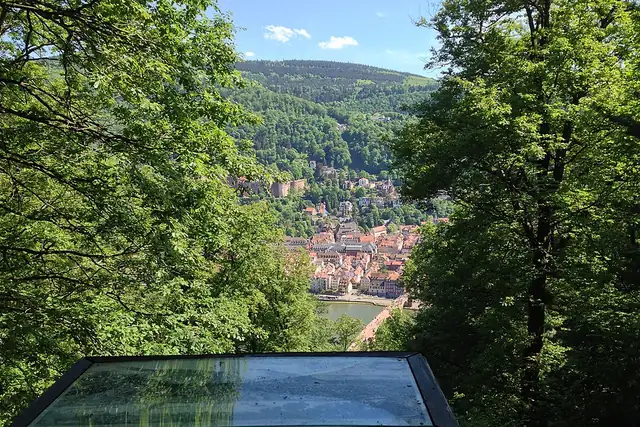

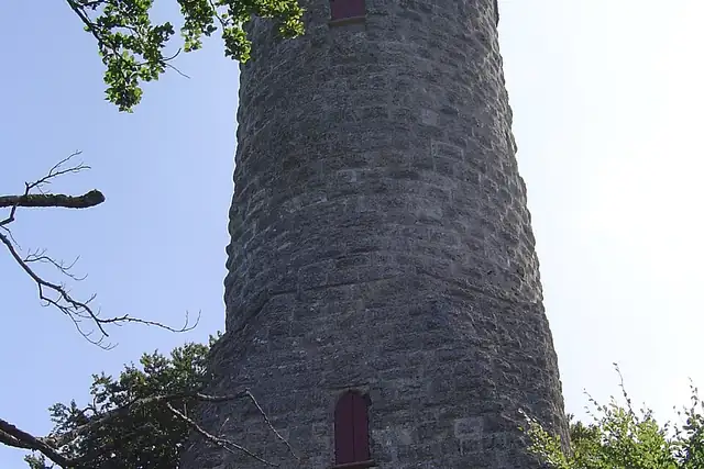

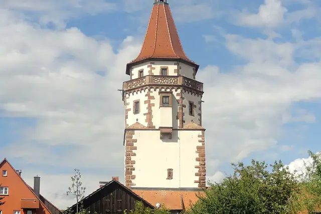

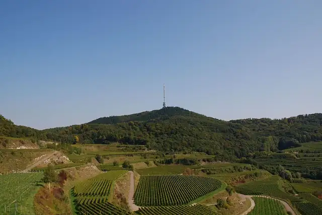
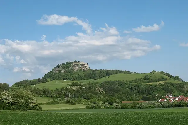
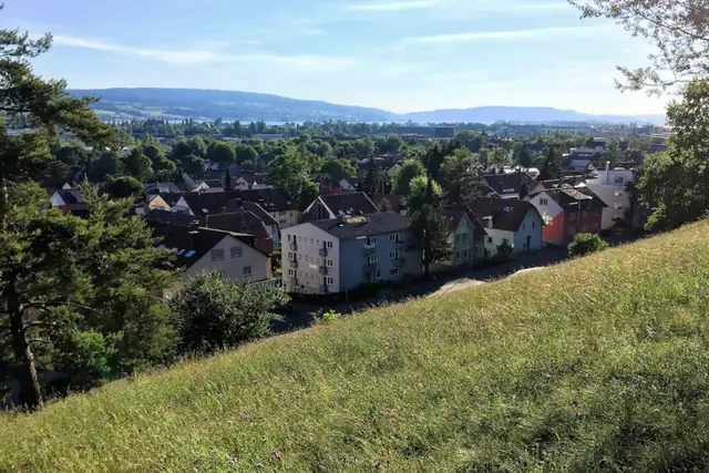
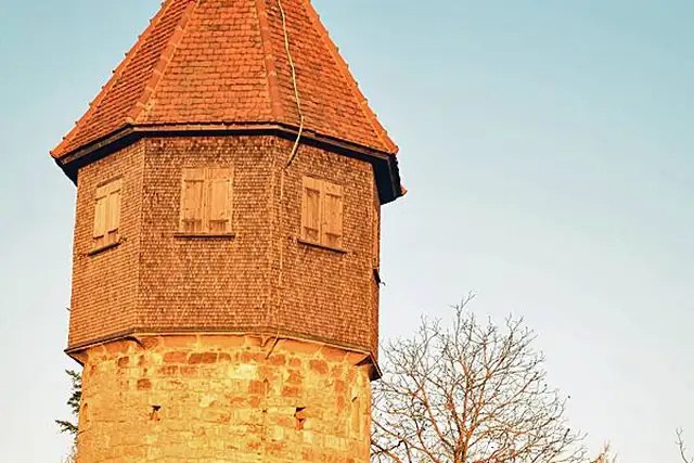
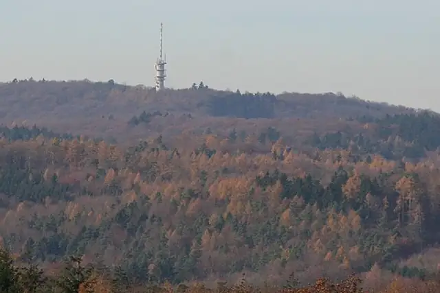
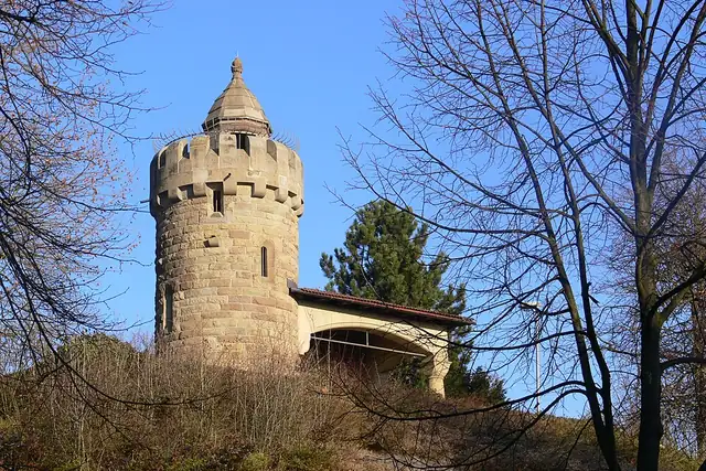
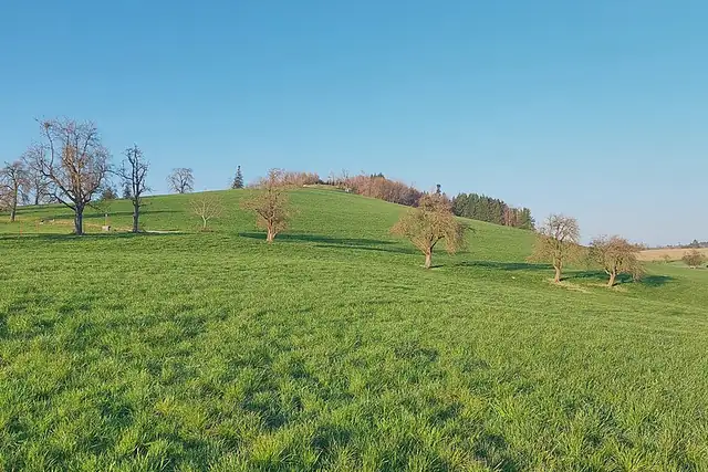
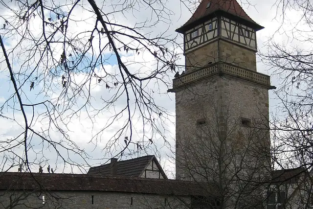
The Hohentwiel, 2 km from Singen at 686 m, is a viewpoint and a ruin at once. Heidelberg has the Meriankanzel 2 km from the center; Stuttgart the Kriegsbergturm (1 km). Near Tuttlingen, the Knopfmacherfelsen is 11 km out. The Kaiserstuhlblick on the Totenkopf is 14 km from Emmendingen, the Wiedenfelsen 7 km from Bühl. Even the TK Elevator Testturm in Rottweil makes the list.
At 1364 entries, viewpoints are the longest list RLQuest has for Baden-Württemberg, far ahead of its 858 castles, and only 25 have a Wikipedia article. Most are a bench, a rock or a clearing with a local name. That is what the app is for: it sends you to a point, reads your route, and the hilltop tiles fill in. The view is not stored anywhere; it stays with you.
Every dot is a place. The numbers mark the highlights listed below.
Ordered by how much has been written about each place. The numbers match the map.
A selection, best known first, with the nearest larger town next to each.
and 1,312 more
RLQuest knows these places too. Which means:
Some of your daily quests lead to a real place near you. The app uses your location to check you were really there.
If you're the first person in RLQuest to complete a quest at a place, it's your first find. The Place Book shows you which kinds of place you're still missing.
Every walk uncovers tiles, each about 350 m across. Over time you can see which corners you know well, and where you've never set foot.


Place data © OpenStreetMap contributors, available under the Open Database License. Borders: geoBoundaries (CC BY 4.0); Canada: Statistics Canada. As of 2026-10-02. The list shows the places RLQuest knows and isn't complete. Photos come from Wikimedia Commons; author and license are credited on each photo.
