25 km around Stuttgart

Viewpoints, castles and towers near Stuttgart

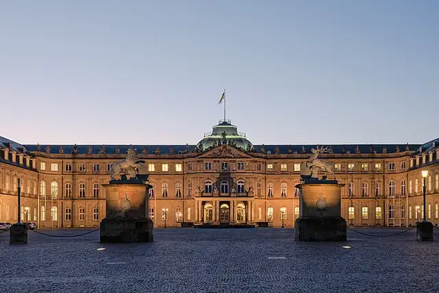
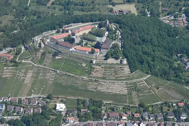
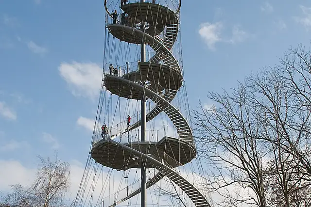
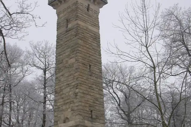
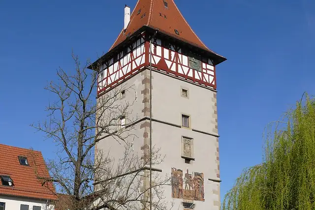
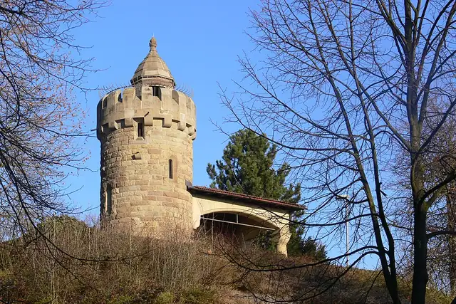
Stuttgart is built in a bowl, so views come cheap: RLQuest knows 96 viewpoints within 25 km, the Kriegsbergturm and the Uhlandshöhe both near the center, and 79 hills, the Birkenkopf at 3.8 km among them. Towers add to it, the Killesbergturm at 2.6 km, the Kernenturm at 513 meters and the Mélacturm from 1574. The Neues Schloss is 0.6 km from the center; Festung Hohenasperg (14.5 km), the Yburg (12.2 km) and Seeschloss Monrepos are the day trips.

Four waterfalls in a wine region is the odd detail, the Grunbacher Wasserfall and the Kirnbachfall among them, and the Keltengrab Hochdorf at 17 km heads a list of 44 archaeological sites. Open RLQuest and some of them will be waiting as quests, with the app checking that you made the climb.

96 Viewpoints49 Castles and palaces44 Archaeological sites39 Ruins16 Lookout towers12 Monuments7 City gates6 Bunkers

Where the places are

Each hexagon covers a little over 5 square kilometers. The brighter it glows, the more places are inside it. The numbers mark the highlights listed below; the dot in the middle is the center of Stuttgart.

Few places to many

123456789101112

Worth the trip around Stuttgart

The places with the most to tell about. The numbers match the map.

Places by type

A selection for each type, best known first. The number next to each heading counts everything RLQuest knows within the radius.

Castles and palaces 49

  • StadtPalais0.9 km
  • Schloß Serach9.6 km
  • Seeschloss Monrepos15 km
  • Ruine Altsachsenheim20 km
  • Schloß Gaisberg-Schöckingen13 km
  • Schloss Dätzingen23 km
  • Kirchenburg24 km
  • Leinfelder Hof20 km
  • Burgruine Steinheim22 km
  • Burg Frauenberg2.5 km
  • Bärenschlössle6.7 km
  • Burgruine Hoheneck15 km

and 34 more

Viewpoints 96

  • Hochwachtturm12 km
  • Torbogen "Tor ins Remstal"11 km
  • Westturm0.6 km
  • Eugensplatz1.1 km
  • Uhlandshöhe1.3 km
  • Aussichtsturm Uhlandshöhe1.3 km
  • Aussichtsplattform Uhlandshöhe1.3 km
  • Aussichtsplattform Stadtwasserwerk1.5 km
  • Heinrich-Heine-Höhe1.6 km
  • Bismarckturm1.7 km
  • Aussichtsplattform Rote Wand1.8 km
  • Aussichtsplatte Humboldtstraße1.9 km

and 82 more

Waterfalls 4

  • Neuer Ueberlauf16 km
  • Grunbacher Wasserfall18 km
  • Zipfelbach-Wasserfall18 km
  • Kirnbachfall22 km

Ruins 39

  • Yburg12 km
  • Engelburg7.7 km
  • Dischinger Burg4.9 km
  • Ruine des Hasenbergturms3.1 km
  • Burg Mühlhausen7.9 km
  • Ruine alte Reitställe13 km
  • Burg Kapfenhart18 km
  • Bunker-Ruinen19 km
  • Diebsturm19 km
  • Laurentiuskapelle25 km

and 26 more

City gates 7

  • Wolfstor11 km
  • Stadtmauer-Rundturm-Überreste1.1 km
  • Neckarhaldentor10 km
  • Oberes Tor16 km
  • Unteres Tor20 km
  • Judentor23 km

Lookout towers 16

  • Burgholzhof-Turm4.3 km
  • Jubiläumsturm20 km
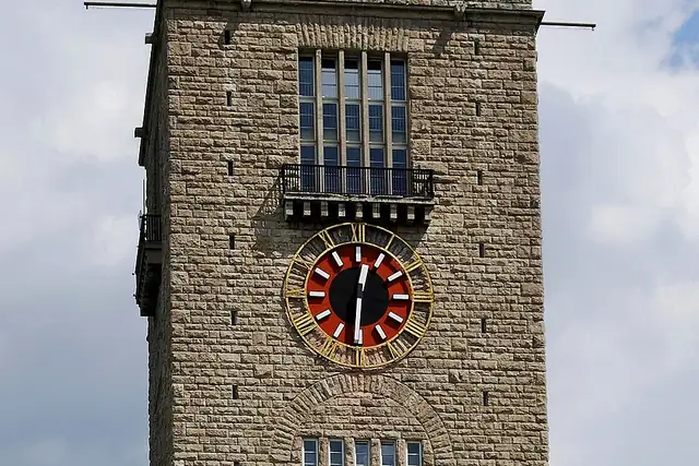
  • Bahnhofsturm0.4 km
  • Aussichtsplattform Hohenacker13 km
  • Wasserturm14 km
  • Pulverturm14 km
  • Innerer Torturm14 km
  • Äußerer Torturm15 km
  • Uhlbergturm16 km
  • Startturm17 km
  • Mörike Turm21 km

and 2 more

Caves 4

  • Eiskeller13 km
  • Kleines Fuchsenloch16 km
  • Großes Fuchsenloch16 km
  • Weinberg Unterstand19 km

Historic towers 4

  • Altes SSB-Türmchen2.2 km
  • Schelztor10 km
  • Grüner Turm16 km
  • Weinbergtürmle20 km

Watermills 6

  • Tonmühle10 km
  • Wasserräder10 km
  • Hahn'sche Mühle12 km
  • Hegnacher Mühle13 km
  • Mettermühle20 km
  • Mühlrad22 km

Archaeological sites 44

  • Keltengrab Hochdorf17 km
  • Villa Rustica (Römischer Gutshof)11 km
  • Burg Winterbach22 km
  • Burg Bonlanden15 km
  • Ehemaliger Burggraben5.3 km
  • Burg Altdischingen4.7 km
  • Villa Rustica Oberensingen20 km
  • Burg Musberg11 km
  • Fliehburg & Wall mit Graben (3)4.8 km
  • Holzstele zur ehem. Wasserburg Rohr9.0 km
  • Keltische Viereckschanze12 km
  • Burgstall Stetten12 km

and 32 more

Monuments 12

  • Statue der Jagdgöttin Diana1.9 km
  • Fruchtsäule3.5 km
  • Naturdenkmal Doline im Reihenfeld19 km

and 9 more

Summits 79

  • Hohenasperg15 km
  • Hasenberg3.2 km
  • Buocher Höhe19 km
  • Katharinenlinde8.8 km
  • Birkenkopf3.8 km
  • Grüner Heiner8.0 km
  • Burgberg22 km
  • Württemberg6.7 km
  • Kernen9.8 km
  • Uhlandshöhe1.3 km
  • Gähkopf1.7 km
  • Karlshöhe1.9 km

and 67 more

Bunkers 6

  • Museumsbunker Ro 119 km
  • Marktplatzbunker0.8 km
  • Hochbunker Steinhaldenfeld6.4 km
  • Laurentiusstollen20 km

and 2 more

How Stuttgart turns into a game

RLQuest knows these places too. Which means:

1

Places become quests

Some of your daily quests lead to a real place near you. The app uses your location to check you were really there.

2

Being first pays off

If you're the first person in RLQuest to complete a quest at a place, it's your first find. The Place Book shows you which kinds of place you're still missing.

3

The map fills in

Every walk uncovers tiles, each about 350 m across. Over time you can see which corners you know well, and where you've never set foot.

App Store Google Play

In the region

Nearby cities

Place data © OpenStreetMap contributors, available under the Open Database License. As of 2026-09-30. The list shows the places RLQuest knows and isn't complete. Photos come from Wikimedia Commons; author and license are credited on each photo.