25 km around Zurich

Castles, waterfalls and viewpoints near Zurich

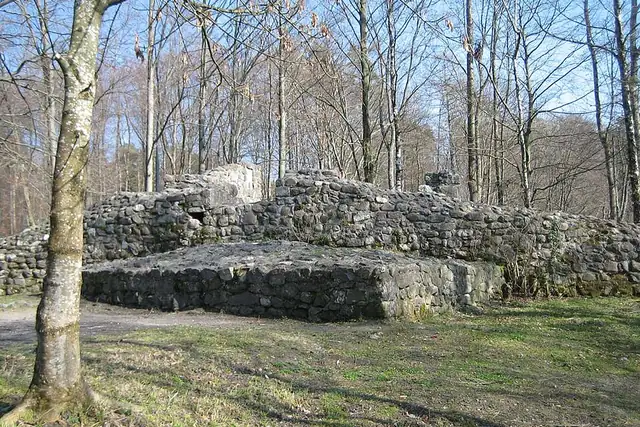
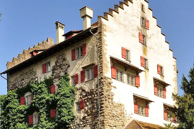
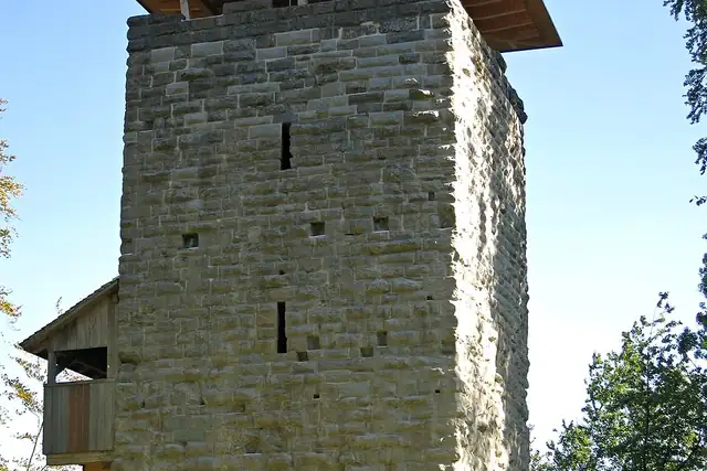
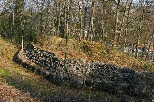
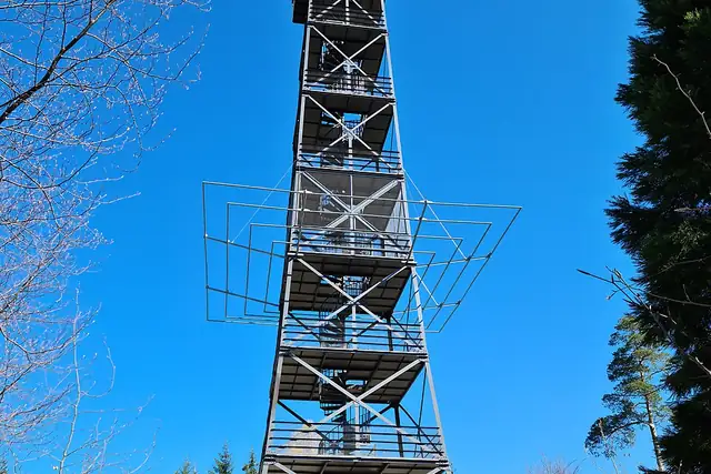
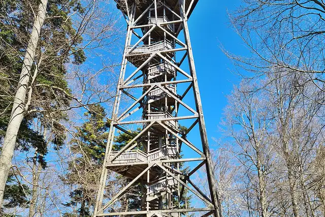
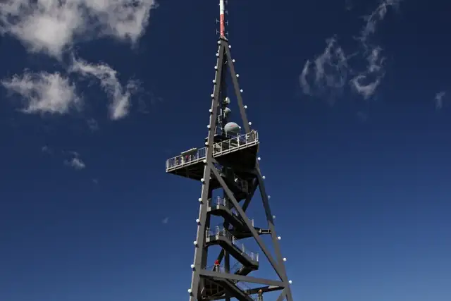
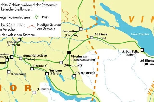
The Uetliberg, 4.8 km from Zurich's center, carries a lookout tower at 870 meters, and the Loorenkopf-Turm at 3.7 km stands at 694 meters. Castles are spread around: Schloss Greifensee at 9.5 km, Schloss Uster at 12.9 km, Schloss Regensberg at 15.4 km, the Burgruine Wulp at 6.5 km. The Kastell Vitudurum, a Roman fort, is 21.9 km out.

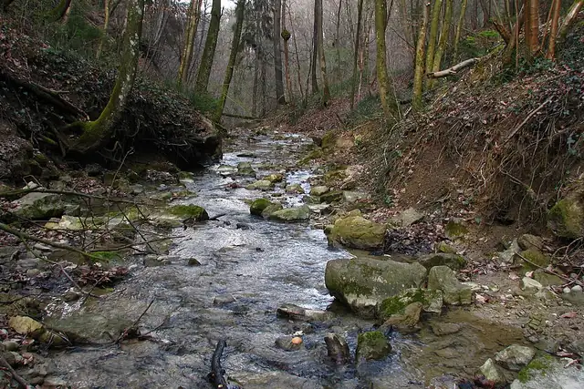
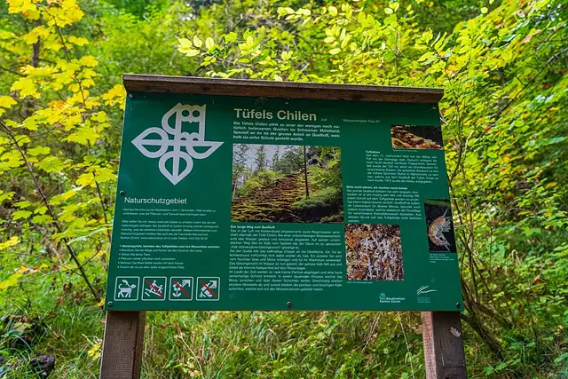
Fifty-two waterfalls is the number that surprises people. Many are small stream falls on the lake's eastern shore, the Küsnachter Dorfbach-Wasserfall and the Erlenbacher Dorfbach-Wasserfall among them, but the Sagentobelbachfall is 3.2 km from the center and Tüfels Chilen is the far one at 21.7 km. When RLQuest sends you to one, the tiles along the shore fill in with it.

77 Viewpoints61 Archaeological sites55 Castles and palaces52 Waterfalls20 Lookout towers16 Bunkers13 Monuments13 Caves

Where the places are

Each hexagon covers a little over 5 square kilometers. The brighter it glows, the more places are inside it. The numbers mark the highlights listed below; the dot in the middle is the center of Zurich.

Few places to many

123456789101112

Worth the trip around Zurich

The places with the most to tell about. The numbers match the map.

Places by type

A selection for each type, best known first. The number next to each heading counts everything RLQuest knows within the radius.

Castles and palaces 55

  • Schloss Uster13 km
  • Schloss Regensberg15 km
  • Ritterhaus Ürikon21 km
  • Ruine Manegg4.5 km
  • Ruine Alt-Regensberg8.6 km
  • Burgruine Friesenberg4.3 km
  • Ruine Freienstein19 km
  • Altes Schloss Teufen20 km
  • Neues Schloss Teufen20 km
  • Burg Hünenberg24 km
  • Ruine Schloss Alt-Wädenswil20 km
  • Ruine Wagenburg15 km

and 40 more

Viewpoints 77

  • Chöpfi20 km
  • Monte Diggelmann3.0 km
  • Bürkliplatz0.6 km
  • Quaibrücke0.6 km
  • Lindenhof1.0 km
  • Polyterrasse1.1 km
  • Kirche Enge1.6 km
  • Hedwig Stünzi-Terasse1.9 km
  • Rigiblick2.2 km
  • Vrenelisgärtli2.8 km
  • Safaribus3.2 km
  • Waid4.5 km

and 65 more

Waterfalls 52

  • Giessbachfall19 km
  • Küsnachter Dorfbach-Wasserfall II6.2 km
  • Küsnachter Dorfbach-Wasserfall I6.8 km
  • Erlenbacher Dorfbach-Wasserfall I7.9 km
  • Erlenbacher Dorfbach-Wasserfall II7.9 km
  • Meilener Dorfbach-Wasserfall I12 km
  • Meilener Dorfbach-Wasserfall III12 km
  • Meilener Dorfbach-Wasserfall II12 km
  • Reppisch-Wasserfall12 km
  • Meilener Dorfbach-Wasserfall IV12 km
  • Jonenbach-Wasserfall12 km
  • Püntenbach-Wasserfall13 km

and 38 more

Ruins 8

  • Ruine Schönenwerd9.8 km
  • Burgbrunnen4.3 km
  • Ruine ehemalige Stadt Glanzenberg11 km

and 3 more

Forts 1

  • Sternenschanze22 km

City gates 2

  • Zytturm22 km

Lookout towers 20

  • Aussichtsturm Pfannenstiel (Alter Bachtelturm)13 km
  • Aussichtsturm Altberg13 km
  • Freitag Tower3.1 km
  • Aussichtsturm Hochwacht Albis11 km
  • Stadlerturm20 km
  • Aussichtsturm Hardwald8.6 km
  • Aussichtsturm Irchel20 km
  • Belvedere Zollikon3.7 km
  • Hasenbergturm14 km
  • Aussichtsturm Oerlikon (Blauer Turm)5.4 km
  • Karlsturm0.6 km
  • Aussichtsturm Stocklen7.6 km

and 5 more

Caves 13

  • Walhalla19 km
  • Drachenhöhle6.3 km
  • Russenhöhle8.5 km
  • Feuerhöhle8.7 km
  • Sandhöhle12 km
  • Kellerraum der Manneberger Mühle14 km
  • Franzosenhöhle16 km
  • St. Pirminsbrunnen17 km
  • Kohlenloch Sennhof19 km
  • Heidewybliloch20 km
  • Brueder-Lienert-Höhli21 km
  • Schaggelishöhle24 km

Megaliths 1

  • Steinkreis11 km

Historic towers 3

  • Katzenturm16 km
  • Hermannsturm16 km
  • Hexenturm16 km

Watermills 7

  • Wasserrad4.4 km
  • Alte Mühle Albisrieden4.9 km
  • Untere Mühle6.1 km
  • Aumüli8.7 km
  • Alte Sagi11 km
  • Haumüli17 km
  • Wasserrad Neumühle23 km

Archaeological sites 61

  • Ruine Kloster Berenberg18 km
  • Burgstelle Uetliburg - Innere Wälle4.8 km
  • Burgstelle Uetliburg - Äussere Wälle4.9 km
  • Burgstelle Hoh Wülflingen18 km
  • Burgstelle Wildberg20 km
  • Fürstengrabhügel Sonnenbühl (rekonstruiert)5.2 km
  • Römische Villa (Badanlage)23 km
  • Burgstelle Heidegg16 km
  • Römischer Gutshof14 km
  • Burgstelle Gamser17 km
  • Burgruine Langenberg17 km
  • Burgstelle Wart19 km

and 49 more

Monuments 13

  • Forchdenkmal8.5 km
  • Evangelisch Ref. Kirche Bauma25 km
  • Statue3.2 km

and 10 more

Summits 106

  • Uetliberg4.8 km
  • Zürichberg2.5 km
  • Käferberg4.9 km
  • Egg19 km
  • Adlisberg3.2 km
  • Felsenegg6.9 km
  • Lägern17 km
  • Heitersberg14 km
  • Stadlerberg20 km
  • Ötlisberg4.5 km
  • Baarburg18 km
  • Altberg12 km

and 94 more

Bunkers 16

  • Infanterie-Bunker1.2 km

and 15 more

How Zurich turns into a game

RLQuest knows these places too. Which means:

1

Places become quests

Some of your daily quests lead to a real place near you. The app uses your location to check you were really there.

2

Being first pays off

If you're the first person in RLQuest to complete a quest at a place, it's your first find. The Place Book shows you which kinds of place you're still missing.

3

The map fills in

Every walk uncovers tiles, each about 350 m across. Over time you can see which corners you know well, and where you've never set foot.

App Store Google Play

In the region

Nearby cities

Place data © OpenStreetMap contributors, available under the Open Database License. As of 2026-09-30. The list shows the places RLQuest knows and isn't complete. Photos come from Wikimedia Commons; author and license are credited on each photo.