Worth the trip around Innsbruck
The places with the most to tell about. The numbers match the map.

.jpg)
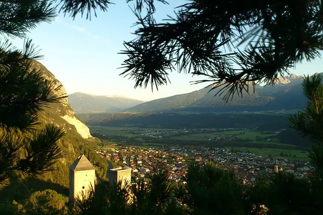

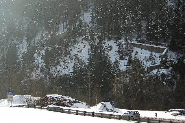

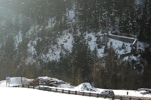
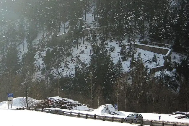
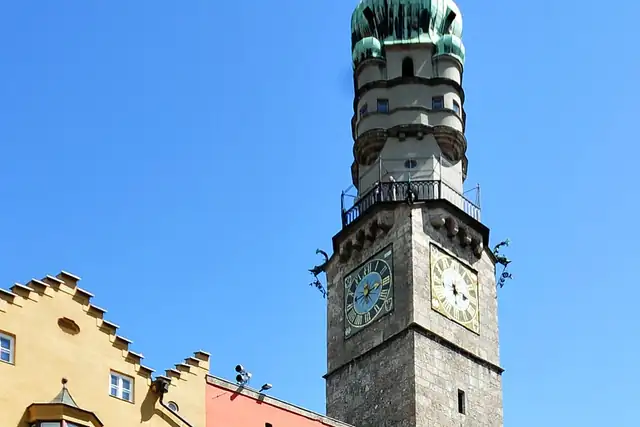

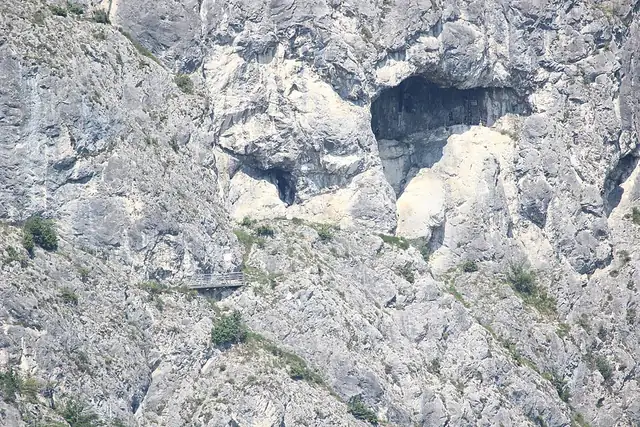
Innsbruck is where the mountains are the point: 314 peaks within 25 km, from the Bergisel at 1.8 km to the Patscherkofel at 7.8 km, the Saile (Nockspitze) at 9.5 km and the Zirler Berg at 13 km. Eleven waterfalls follow, the Schlossfall only 3.4 km from the center and the Kaiser Ferdinand-Wasserfälle at 10.3 km. The Stadtturm, 0.6 km out, is the lookout in town.
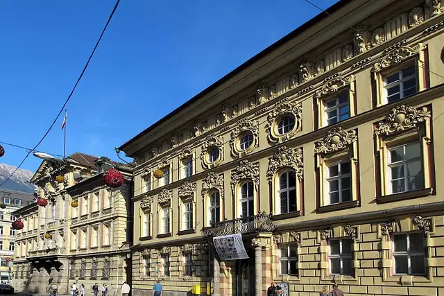
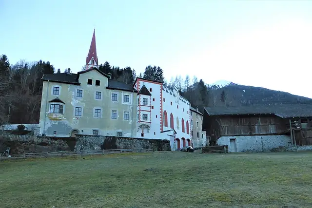
Castles are fewer, 22, but well spread: the Palais Fugger-Taxis at 0.2 km, Burg Martinsbühel at 9.5 km, Schloss Friedberg at 12.9 km, Burg Trautson at 14.5 km, and the Porta Claudia ruins between 18 and 22 km. The Kastell von Veldidena, a Roman site, sits 0.9 km from the center. In a town this steep, the map fills in slowly and the views make up for it.
Each hexagon covers a little over 5 square kilometers. The brighter it glows, the more places are inside it. The numbers mark the highlights listed below; the dot in the middle is the center of Innsbruck.
Few places to many
The places with the most to tell about. The numbers match the map.
A selection for each type, best known first. The number next to each heading counts everything RLQuest knows within the radius.
and 7 more
and 74 more
and 2 more
and 8 more
and 3 more
and 302 more
RLQuest knows these places too. Which means:
Some of your daily quests lead to a real place near you. The app uses your location to check you were really there.
If you're the first person in RLQuest to complete a quest at a place, it's your first find. The Place Book shows you which kinds of place you're still missing.
Every walk uncovers tiles, each about 350 m across. Over time you can see which corners you know well, and where you've never set foot.


Place data © OpenStreetMap contributors, available under the Open Database License. As of 2026-09-30. The list shows the places RLQuest knows and isn't complete. Photos come from Wikimedia Commons; author and license are credited on each photo.
