Worth the trip around Salzburg
The places with the most to tell about. The numbers match the map.
.jpg)
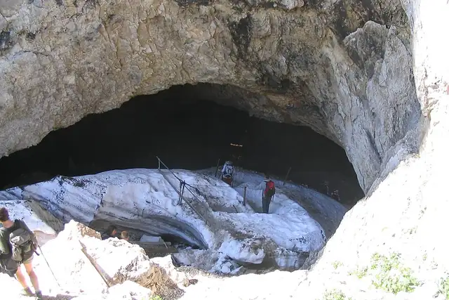

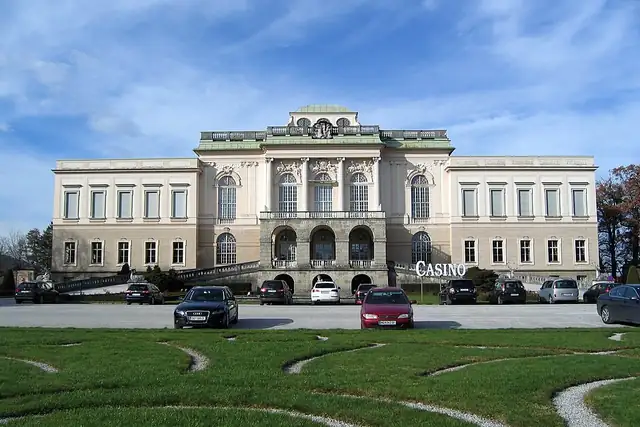

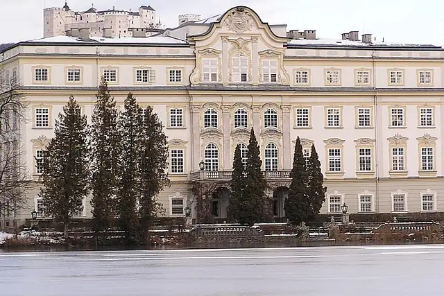

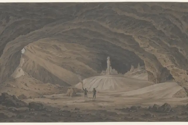




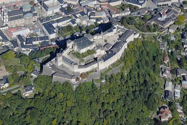
The Alps start at Salzburg's doorstep, and RLQuest knows 244 peaks within 25 km: the Gaisberg at 5.2 km, the Kapuzinerberg at 1.2 km, the Hochstaufen at 15.4 km. Festung Hohensalzburg, dated 1077, is 0.6 km from the center, Schloss Leopoldskron 1.3 km, Schloss Kleßheim 4.5 km, Schloss Anif 6.4 km and Schloss Fuschl 15.9 km on its lake. The Schellenberger Eishöhle, an ice cave at 1570 meters, is 10.1 km out.
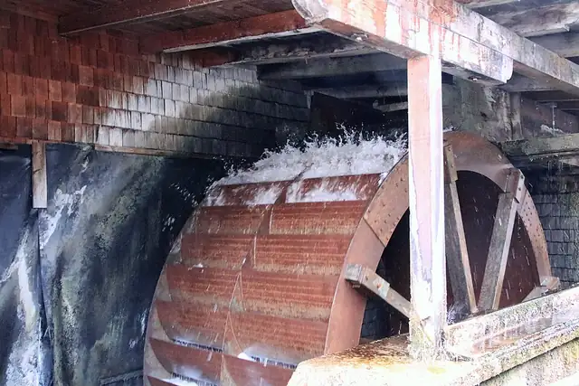
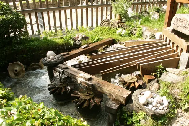
Forty caves and 11 waterfalls fill in the gaps, the Gnigler Wasserfälle just 3.5 km from town and the Plötz at 10.3 km. Watermills include the Stiftsmühle St. Peter at 0.3 km and the Untersberger Marmorkugelmühlen, which grind marble into balls. Every one of them is a place the app can send you.
Each hexagon covers a little over 5 square kilometers. The brighter it glows, the more places are inside it. The numbers mark the highlights listed below; the dot in the middle is the center of Salzburg.
Few places to many
The places with the most to tell about. The numbers match the map.
A selection for each type, best known first. The number next to each heading counts everything RLQuest knows within the radius.
and 33 more
and 68 more
and 13 more
and 3 more
and 26 more
and 3 more
and 10 more
and 3 more
and 232 more
RLQuest knows these places too. Which means:
Some of your daily quests lead to a real place near you. The app uses your location to check you were really there.
If you're the first person in RLQuest to complete a quest at a place, it's your first find. The Place Book shows you which kinds of place you're still missing.
Every walk uncovers tiles, each about 350 m across. Over time you can see which corners you know well, and where you've never set foot.


Place data © OpenStreetMap contributors, available under the Open Database License. As of 2026-10-02. The list shows the places RLQuest knows and isn't complete. Photos come from Wikimedia Commons; author and license are credited on each photo.