25 km around Regensburg

Castles, city gates and caves near Regensburg

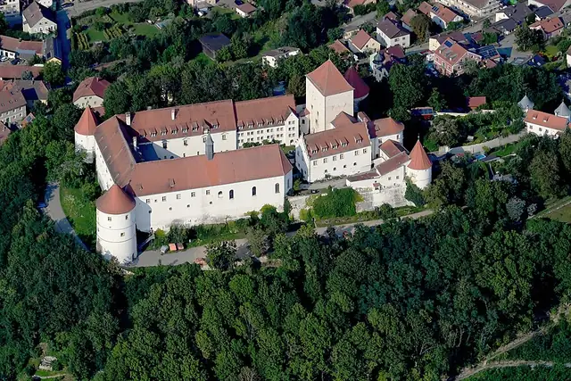
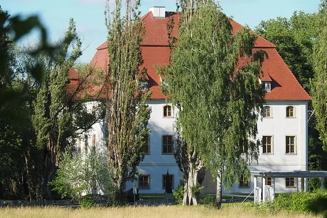
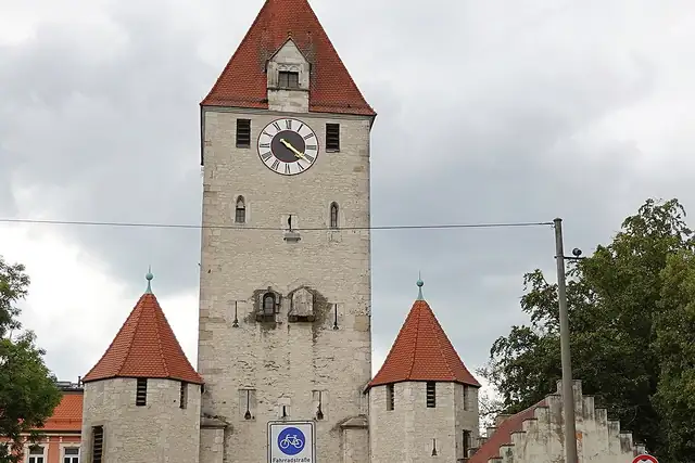
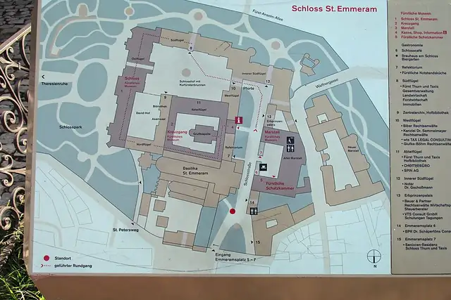
Regensburg's gates come first: the Ostentor from 1284 and the Emmeramer Tor are 0.6 and 0.7 km from the center, and the Porta praetoria, a Roman gate, is the same distance. Schloss St. Emmeram is 0.6 km out and Schloss Pürkelgut 2.6 km; Schloss Wörth, dated to the 13th century, is 22 km along the Danube. The Walhalla at 9.1 km and the Befreiungshalle Kelheim at 20.6 km are the two big monuments.

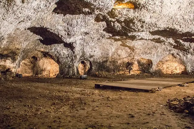
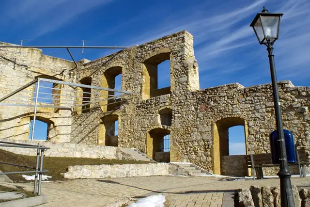
Twenty caves is the number nobody expects: the Räuberhöhle at 9.3 km, the Tropfsteinhöhle Schulerloch at 22.7 km, the Burghöhle von Loch. Beaches here are river bathing spots, five of them, the closest a Badestelle 0.9 km from the center. Whichever one RLQuest hands you, the map fills in on the way.

36 Castles and palaces29 Archaeological sites29 Viewpoints20 Caves14 Ruins10 City gates6 Monuments5 Beaches and swimming spots

Where the places are

Each hexagon covers a little over 5 square kilometers. The brighter it glows, the more places are inside it. The numbers mark the highlights listed below; the dot in the middle is the center of Regensburg.

Few places to many

12345678

Worth the trip around Regensburg

The places with the most to tell about. The numbers match the map.

Places by type

A selection for each type, best known first. The number next to each heading counts everything RLQuest knows within the radius.

Castles and palaces 36

  • Schloss Spindlhof13 km
  • Burgruine Kallmünz20 km
  • Schloß Pirkensee17 km
  • Schloß Alteglofsheim13 km
  • Burgruine Heilsberg21 km
  • Burg Hof am Regen23 km
  • Burgstall Zangenfels20 km
  • Schloss Weichs1.4 km
  • Schloss Höfling5.0 km
  • Schloss Ramspau16 km
  • Kreuzgang Sankt Emmeram0.6 km
  • Thurn und Taxis Schlossmuseum und Marstallmuseum0.7 km

and 21 more

Viewpoints 29

  • Nordturm0.8 km
  • Dreifaltigkeitsberg1.8 km
  • Blick über Regensburg3.8 km
  • Keilsteiner Hang4.6 km
  • Hoppefelsen4.7 km
  • Naabblick5.6 km
  • Vogelbeobachtungsstation6.0 km
  • Hohe Wand9.3 km
  • Stifterfelsen9.8 km
  • Hangflug (Modellflugplatz)14 km
  • Osterfelsen14 km
  • Alpenblick (bei Föhn)14 km

and 17 more

Waterfalls 1

  • Wasserbrunnen2.7 km

Ruins 14

  • Torraum mit Kapelle7.9 km
  • Burgstall Egelsburg14 km
  • Burgstall Lichtenberg15 km
  • Ruine Ramspau16 km
  • Wörthkirche20 km
  • Auerturm23 km
  • Burgruine Brennberg23 km

and 6 more

City gates 10

  • Herzogstor0.5 km
  • Helenentor0.8 km
  • Jakobstor1.1 km
  • Pylonentor1.3 km
  • Altmühltor20 km
  • Mittertor20 km
  • Donautor20 km
  • Storchenturm24 km

Lookout towers 1

  • Schlossbergturm13 km

Caves 20

  • Räuberhöhle - Hinterausgang9.4 km
  • Große Bärenhöhle im Stifterfelsen9.8 km
  • Maihöhle10 km
  • Eisenbahnerhöhle11 km
  • Burghöhle von Loch13 km
  • Mittlere Burghöhle13 km
  • Dürrloch13 km
  • Osterstube14 km
  • Grundlose Grube17 km
  • Höhle im alten Grund17 km
  • Abri im Weinbergfelsen18 km
  • Hirschenstube19 km

and 6 more

Historic towers 2

  • Anatomieturm0.6 km
  • Heinrichsturm9.9 km

Watermills 4

  • Münchsmühle15 km
  • Kunstmühle Kehrer20 km
  • Höllmühle23 km
  • Fahnmühle24 km

Archaeological sites 29

  • Ehemaliger Wachturm der Burg Löweneck9.3 km
  • Burgstall Löweneck10 km
  • Porta praetoria0.6 km
  • Burgstall Lichtenroth auf dem Engelsfels14 km
  • Villa Rustica3.8 km
  • Mittelalterlicher Turmhügel "Schlössl" (sog. "Römerschanze")6.4 km
  • Keltenschanze10 km
  • Mittelalterlicher Burgstall "Durchelenburg15 km
  • Spätkeltischer Ringwall16 km
  • Grabhügel17 km
  • Grabhügel vorgeschichtlicher Zeitstellung.17 km
  • Wallanlage vor- und frühgeschichtlicher Zeitstellung.18 km

and 17 more

Monuments 6

  • Walhalla9.1 km
  • Befreiungshalle Kelheim21 km
  • Sankt Nepomuk-Statue3.9 km

and 3 more

Beaches and swimming spots 5

  • Badestelle0.9 km
  • Badestrand9.1 km
  • Sandstrand9.5 km

and 2 more

Summits 75

  • Michelsberg21 km
  • Königswiesener Berg2.5 km
  • Sallerner Berg3.0 km
  • Ziegetsberg3.8 km
  • Keilstein4.3 km
  • Winzerer Höhe4.5 km
  • Mühlberg4.5 km
  • Hoher Sand4.7 km
  • Keilberg5.8 km
  • Eichelberg6.0 km
  • Dürrbuckel6.0 km
  • Zeitlberg6.1 km

and 63 more

How Regensburg turns into a game

RLQuest knows these places too. Which means:

1

Places become quests

Some of your daily quests lead to a real place near you. The app uses your location to check you were really there.

2

Being first pays off

If you're the first person in RLQuest to complete a quest at a place, it's your first find. The Place Book shows you which kinds of place you're still missing.

3

The map fills in

Every walk uncovers tiles, each about 350 m across. Over time you can see which corners you know well, and where you've never set foot.

App Store Google Play

In the region

Nearby cities

Place data © OpenStreetMap contributors, available under the Open Database License. As of 2026-09-30. The list shows the places RLQuest knows and isn't complete. Photos come from Wikimedia Commons; author and license are credited on each photo.