25 km around Erfurt

Castles, ruins and watermills near Erfurt

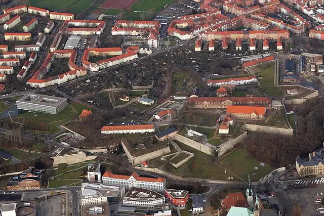
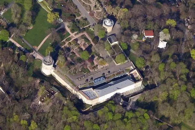
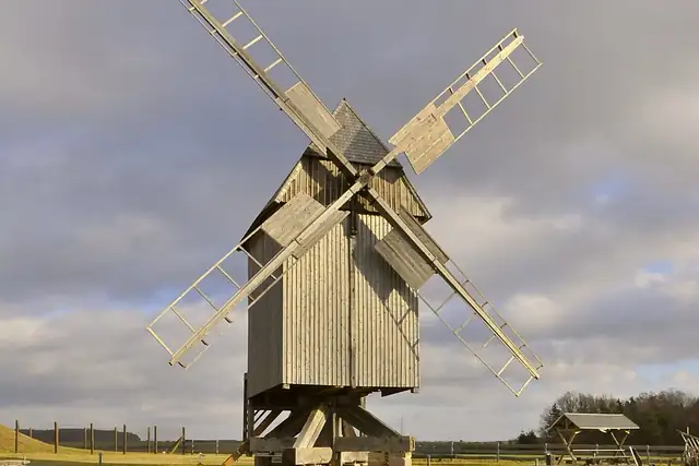
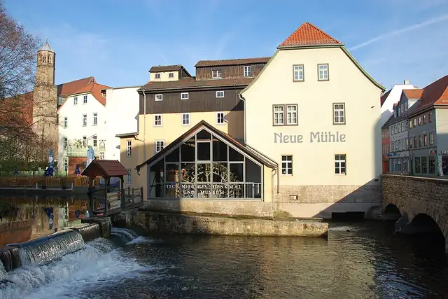
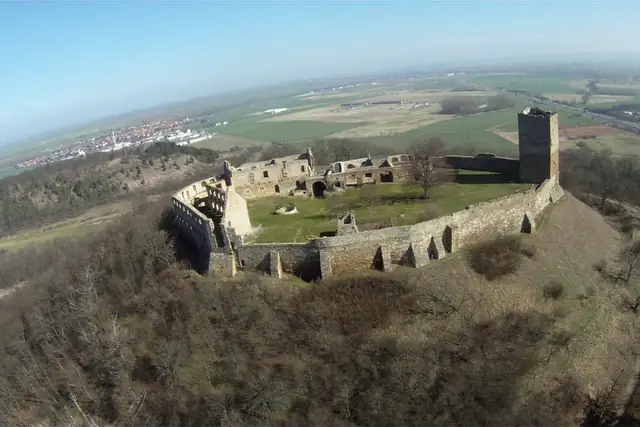
Erfurt keeps two citadels close: the Zitadelle Petersberg 1.3 km from the center and the Zitadelle Cyriaksburg at 2.3 km. Farther out, Burg Gleichen and the Wachsenburg stand about 17 km away, and Weimar's Schloss Belvedere and Schloss Tiefurt fall just inside the circle at 22 to 23 km. The Neue Mühle, a watermill 0.4 km from the center, is the first of 26; the Bockwindmühle Klettbach from 1743 stands at 438 meters.

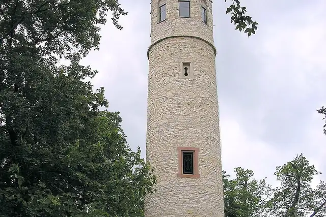
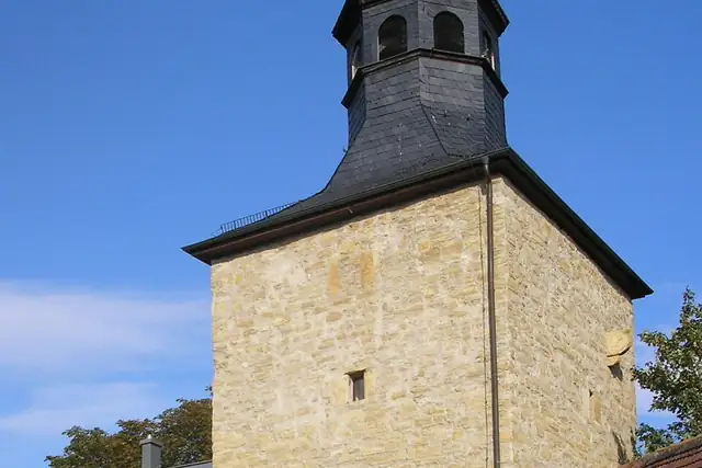
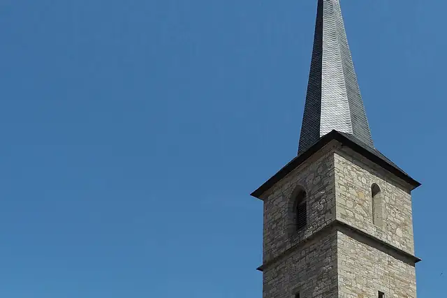
With 143 peaks the Thuringian hills dominate the count, the Riechheimer Berg at 12.5 km among them, and 11 historic towers, from the Bonifatiuskapelle to the Wartturm Hopfgarten, are more than most cities offer. The Erfurter Tor, a city gate from 1395, stands 21 km out. Any of these can be the day's quest.

40 Viewpoints38 Ruins32 Castles and palaces26 Watermills22 Archaeological sites11 Historic towers8 Lookout towers4 Monuments

Where the places are

Each hexagon covers a little over 5 square kilometers. The brighter it glows, the more places are inside it. The numbers mark the highlights listed below; the dot in the middle is the center of Erfurt.

Few places to many

123456789101112

Worth the trip around Erfurt

The places with the most to tell about. The numbers match the map.

Places by type

A selection for each type, best known first. The number next to each heading counts everything RLQuest knows within the radius.

Castles and palaces 32

  • Schloss Belvedere22 km
  • Forsthaus Willrode7.6 km
  • Schloss Tiefurt23 km
  • Wachsenburg17 km
  • Kurmainzische Statthalterei0.5 km
  • Winterpalais23 km
  • Burg Denstedt24 km
  • Schloss Friedrichsthal23 km
  • Schloss Tonndorf15 km
  • Mühlburg19 km
  • Neues Palais17 km
  • Schlossruine Herbsleben21 km

and 17 more

Viewpoints 40

  • Buchenwaldblick2.2 km
  • Domblick2.8 km
  • Stadtblick Am Tannenwäldchen3.0 km
  • Öffentliche Aussichtsplattform auf das Flugfeld5.1 km
  • Berberberg Aussichtspunkt5.2 km
  • Rote Wand6.2 km
  • Galgenhügel9.2 km
  • Schloß-Molsdorf-Blick10 km
  • Windburg10 km
  • Nödaer Warte10 km
  • Nurzner Wanderhütte zur Thüringer Laterne12 km
  • Thüringer Schiefergebirgsblick13 km

and 28 more

Ruins 38

  • TMM - schwere mechanisierte Brücke12 km
  • Große Grotte22 km
  • Gießlerturm16 km
  • Schleißenburg18 km
  • Kapitelle vom Schloss Hirschruf20 km
  • Zeughausruine20 km
  • Holländermühle20 km
  • Karlsmühle21 km
  • Schlosserwerkstatt22 km

and 26 more

City gates 4

  • Neutorturm17 km
  • Peterstor1.1 km
  • Riedtor17 km

Windmills 4

  • Bockwindmühle Bechstedtstraß12 km
  • Fahner Mühle14 km
  • Windmühle Heichelheim21 km

Lookout towers 8

  • Alteburgturm18 km
  • Angerturm1.6 km
  • Dicker Turm18 km

and 4 more

Caves 3

  • Karsthöhle Dienstedt21 km
  • Böhlersloch19 km
  • Zwergenhöhle22 km

Historic towers 11

  • Barkhäuser Turm9.5 km
  • Volkssternwarte2.3 km
  • Warttum Niederzimmern12 km
  • Wartturm Hopfgarten14 km
  • Mittelalterlicher Wohnturm16 km
  • Neideckturm17 km
  • Wehrturm18 km
  • Wehrkirche Molschleben18 km
  • Kasseturm20 km

Watermills 26

  • Zitzmannmühle Ingersleben10 km
  • Niedermühle10 km
  • Mittelmühle11 km
  • Oberen Mühle12 km
  • Cuxmühle18 km
  • Felsmühle18 km
  • Feldmühle18 km
  • Öl- und Graupenmühle19 km
  • Steigmühle19 km
  • Gölitzensmühle19 km
  • Untermühle20 km
  • Obermühle20 km

and 13 more

Archaeological sites 22

  • Grundplatte der Weimarer Wasserkunst24 km
  • Schloss Vippach16 km
  • Käfernburg18 km
  • Walpurgiskloster19 km
  • Mikwe0.4 km
  • Kaffenburg20 km
  • Burgstelle Tafelberg10 km
  • Enzenburg16 km
  • Vorgeschichtliche Wallburg4.2 km
  • Burg Meyermahl18 km
  • Schwedenschanze18 km
  • Burghügel Döllstädt19 km

and 10 more

Monuments 4

  • Bismarckturm Erfurt3.0 km

and 3 more

Summits 143

  • Riechheimer Berg12 km
  • Schwellenburg8.2 km
  • Roter Berg5.6 km
  • Stunzelberg4.6 km
  • Langer Berg5.0 km
  • Herrschaftsberg5.3 km
  • Rosenberg5.8 km
  • Buchenberg5.9 km
  • Wartberg6.0 km
  • Schwabenberg6.1 km
  • Fuchsberg6.1 km
  • Raffenberg6.1 km

and 131 more

How Erfurt turns into a game

RLQuest knows these places too. Which means:

1

Places become quests

Some of your daily quests lead to a real place near you. The app uses your location to check you were really there.

2

Being first pays off

If you're the first person in RLQuest to complete a quest at a place, it's your first find. The Place Book shows you which kinds of place you're still missing.

3

The map fills in

Every walk uncovers tiles, each about 350 m across. Over time you can see which corners you know well, and where you've never set foot.

App Store Google Play

In the region

Nearby cities

Place data © OpenStreetMap contributors, available under the Open Database License. As of 2026-09-30. The list shows the places RLQuest knows and isn't complete. Photos come from Wikimedia Commons; author and license are credited on each photo.