25 km around Kassel

Hills, castles and megalithic tombs near Kassel

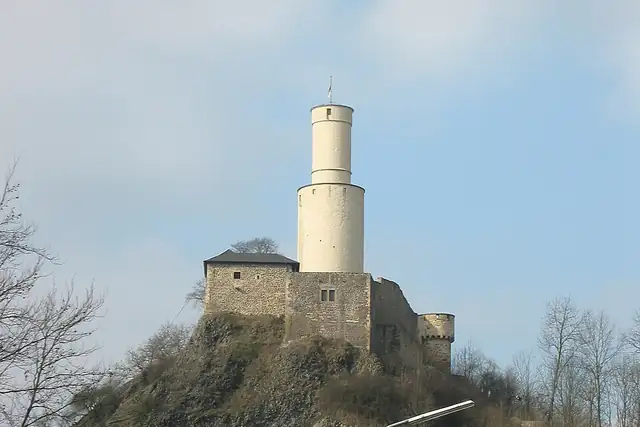
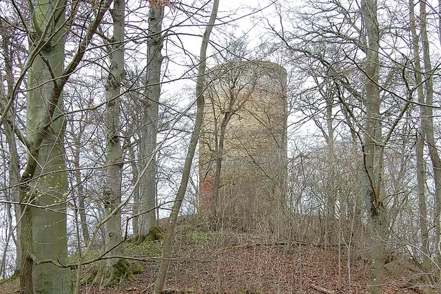
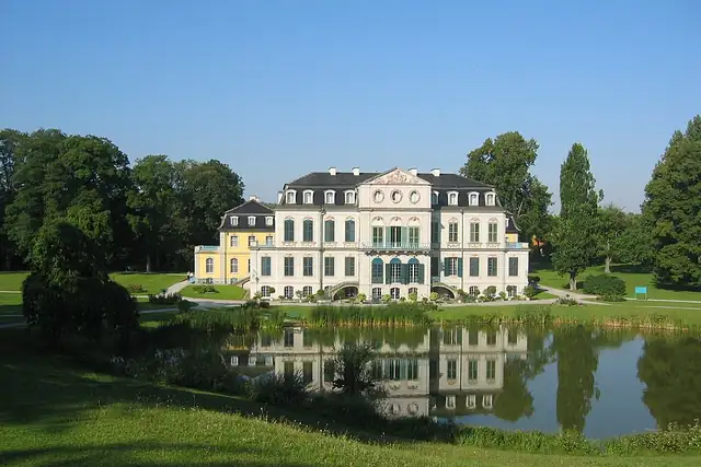
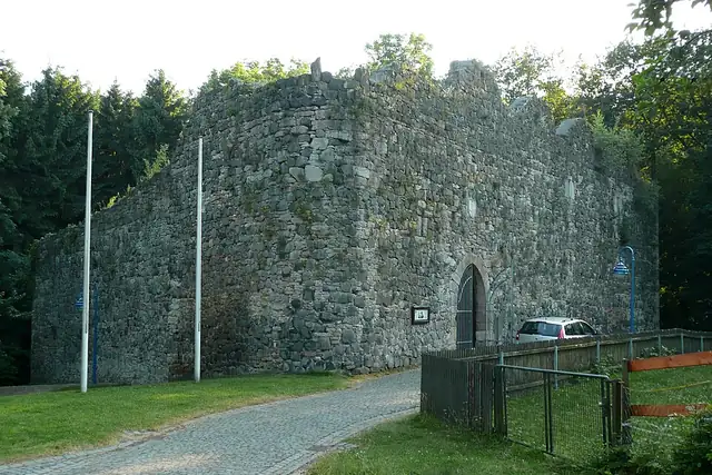
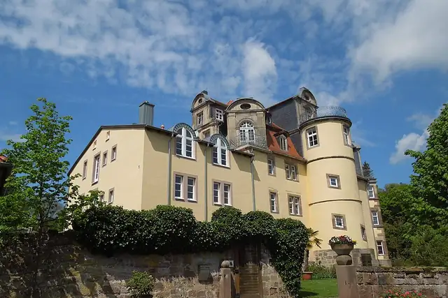
Kassel sits among uplands, and the count says so: 244 peaks within 25 km, the Hoher Dörnberg at 11.4 km and the Hohes Gras at 10.1 km among them. Schloss Wilhelmshöhe is 5.8 km from the center with the Löwenburg at 6.4 km; Schloss Wilhelmsthal (1761) is at 10.3 km, and the Felsburg, dated to around 1060, stands at 20.9 km. Ruins are thick too, the Burgruine Schartenberg, Burg Sichelnstein and Burg Grebenstein among 30.

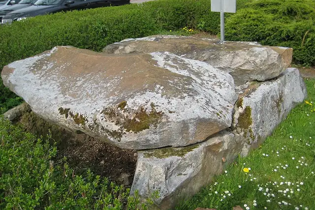
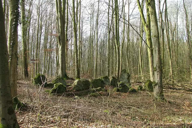
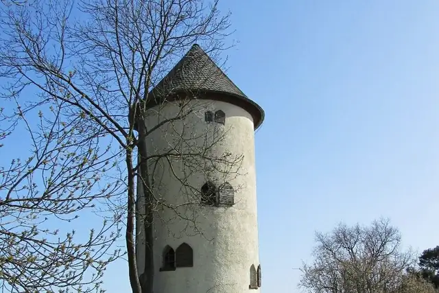
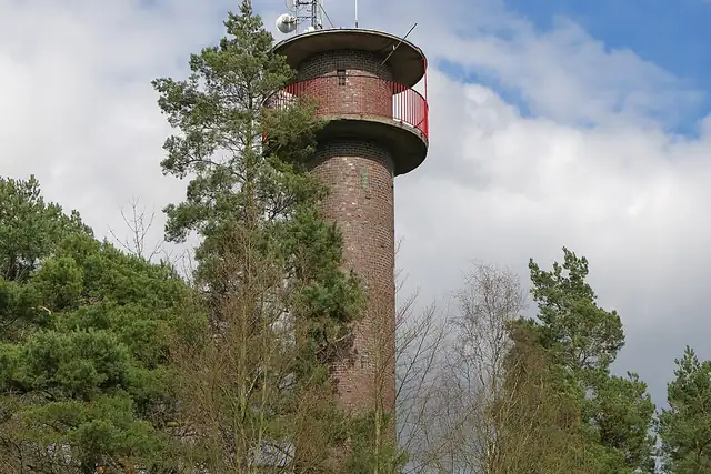
The megaliths are the surprise: eight of them, including the Galeriegrab Calden 1 and 2 at 11.5 and 12.2 km and the Lautariusgrab. Eight lookout towers round it off, the Wartturm at 10.1 km among them. RLQuest checks you made it up.

55 Viewpoints30 Ruins16 Archaeological sites9 Castles and palaces8 Megaliths8 Lookout towers8 Beaches and swimming spots7 Historic towers

Where the places are

Each hexagon covers a little over 5 square kilometers. The brighter it glows, the more places are inside it. The numbers mark the highlights listed below; the dot in the middle is the center of Kassel.

Few places to many

123456789101112

Worth the trip around Kassel

The places with the most to tell about. The numbers match the map.

Places by type

A selection for each type, best known first. The number next to each heading counts everything RLQuest knows within the radius.

Castles and palaces 9

  • Welfenschloss16 km
  • Schloss Wilhelmshöhe5.8 km
  • Burg Heiligenberg21 km
  • Löwenburg6.4 km
  • Burgruine Schauenburg12 km
  • Burg Ermschwerd23 km

Viewpoints 55

  • Lutherturm0.3 km
  • Aussichtspunkt Parkdeck Galeria Kaufhof0.5 km
  • Dachterrasse1.1 km
  • NSG "Fuldaaue" - Beobachtungsstand West2.0 km
  • NSG "Fuldaaue" - Beobachtungsstand Ost2.0 km
  • Blaues Tor2.6 km
  • Herkulesblick Botanischer Garten3.0 km
  • Herkulesblick3.4 km
  • Aussichtspunkt Schanzenstraße4.5 km
  • Rohrbachtal-Blick4.6 km
  • Häuschensberg-Blick4.8 km
  • Blick auf Spiekershausen5.3 km

and 42 more

Ruins 30

  • Ruine Obernburg18 km
  • Burg Grebenstein15 km
  • Malsburg20 km
  • Kartause Eppenberg19 km
  • Igelsburg9.3 km
  • Burg Ziegenberg19 km
  • Burgruine Großer Gudenberg17 km
  • Zeughausruine0.4 km
  • Burgruine Kleiner Gudenberg17 km
  • Schreckenbergturm15 km
  • Ruine Spiegelburg18 km
  • Ruine d. ehem. Walderholungsheims5.9 km

and 15 more

City gates 1

  • Obertor20 km

Lookout towers 8

  • Altenstädter Warte23 km
  • Wartturm10 km
  • Aussichtsturm Odenberg16 km
  • Bilsteinturm20 km
  • Diebesturm25 km

and 1 more

Megaliths 8

  • Riesenstein10 km
  • Riesenstein von Wolfershausen14 km
  • Hilgenstein23 km
  • Riesenstein von Haldorf14 km
  • Wotanstein19 km

Historic towers 7

  • Burgtorturm15 km
  • Eulenturm16 km
  • Pulverturm16 km
  • Jungerfernturm16 km
  • Kelzerturm16 km
  • Lindenturm16 km
  • Gefangenenturm18 km

Watermills 6

  • Mühlrad Helsa14 km
  • Hasenmühle17 km
  • Bringmanns Mühle19 km
  • Luttropps Mühle19 km
  • Wasserradanlage Grund 922 km
  • Wassermühlrad der Forthmühle23 km

Archaeological sites 16

  • Römerlager Hedemünden19 km
  • Burgruine Falkenstein16 km
  • Altenburg16 km
  • Lippoldsburg18 km
  • Schalenstein20 km
  • Voßküppel Quarzitblöcke23 km
  • Frühgeschichtliche Wallanlage6.4 km
  • Hügelgrab A8.1 km
  • Hügelgrab B8.2 km
  • Ringwall12 km

and 6 more

Summits 244

  • Hoher Dörnberg11 km
  • Mühlenberg19 km
  • Hohes Gras10 km
  • Uhlenstein11 km
  • Ziegenkopf9.1 km
  • Burghasunger Berg16 km
  • Lotterberg16 km
  • Hohlestein10 km
  • Elfbuchen7.6 km
  • Bilstein20 km
  • Hühnerfeldberg12 km
  • Großer Steinberg15 km

and 232 more

Bunkers 1

  • Munitionsbunker7.0 km

How Kassel turns into a game

RLQuest knows these places too. Which means:

1

Places become quests

Some of your daily quests lead to a real place near you. The app uses your location to check you were really there.

2

Being first pays off

If you're the first person in RLQuest to complete a quest at a place, it's your first find. The Place Book shows you which kinds of place you're still missing.

3

The map fills in

Every walk uncovers tiles, each about 350 m across. Over time you can see which corners you know well, and where you've never set foot.

App Store Google Play

In the region

Nearby cities

Place data © OpenStreetMap contributors, available under the Open Database License. As of 2026-09-30. The list shows the places RLQuest knows and isn't complete. Photos come from Wikimedia Commons; author and license are credited on each photo.