Germany

Lighthouses in Lower Saxony

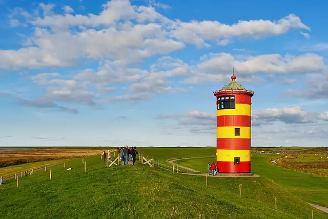
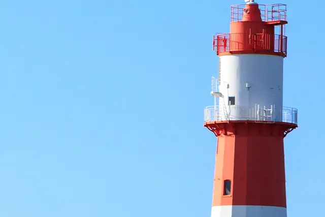
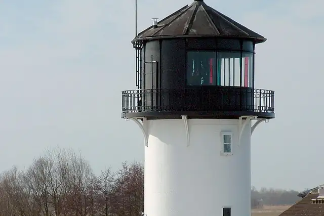
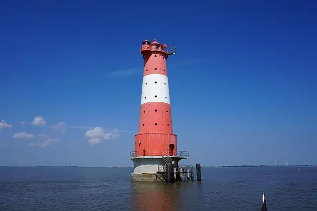
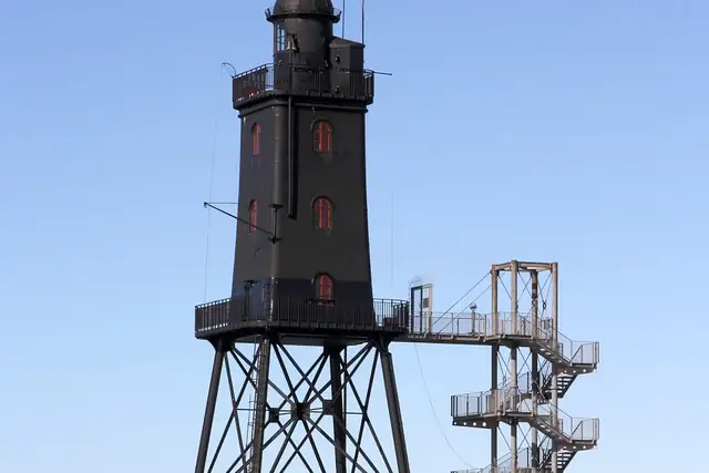
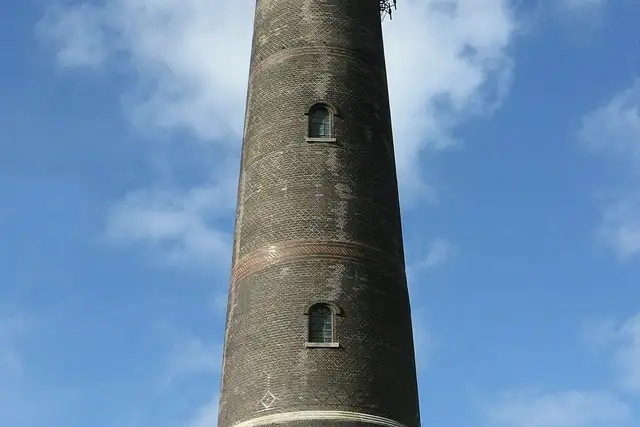
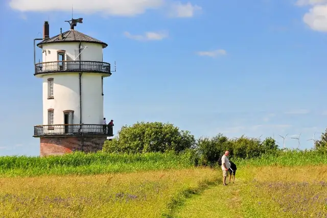
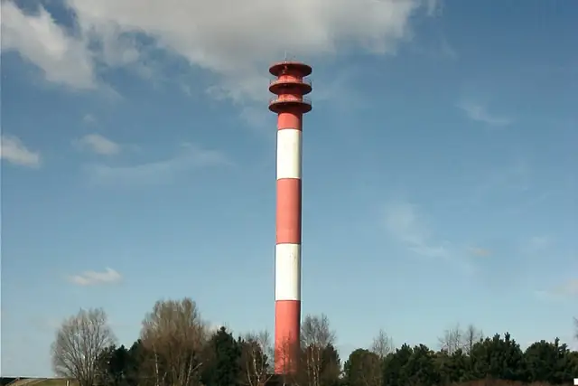
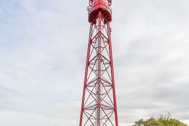
Lower Saxony's lighthouses stand along the North Sea coast and up the Ems, Weser and Elbe. The Pilsumer Leuchtturm (1889) is 15 km from Norden, the Campener Leuchtturm (1889) 11 km from Delfzijl across the Ems. Wilhelmshaven is the base for the Leuchtturm Arngast (9 km) and the Voslapp Oberfeuer (4 km). At Cuxhaven: the Altenbruch Leuchtturm Dicke Berta (1897) at 6 km and the Alter Leuchtturm Balje (1904) at 25 km.

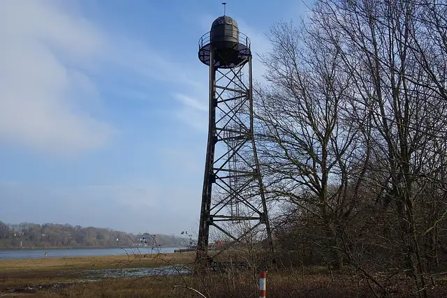
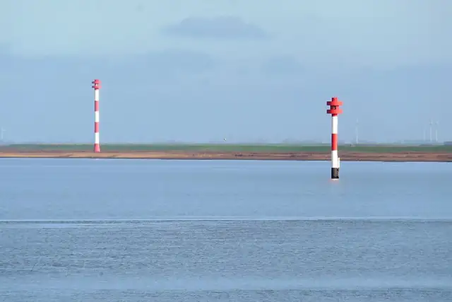
Of the 60 lighthouses RLQuest knows in Lower Saxony, 15 have a Wikipedia article. Many are Oberfeuer and Unterfeuer, paired range lights along the river channels. They still make good quests: a dike walk with a fixed endpoint. RLQuest checks your recorded route reaches the light, and the flat tiles of the marsh fill in behind you.

60 lighthouses RLQuest knows in Lower Saxony15 of them have a Wikipedia article

Where they are

Every dot is a place. The numbers mark the highlights listed below.

123456789101112

The best-known lighthouses in Lower Saxony

Ordered by how much has been written about each place. The numbers match the map.

More lighthouses in Lower Saxony

A selection, best known first, with the nearest larger town next to each.

  • Leuchtturm Wremertief "Kleiner Preuße"8 km from Langen
  • Leuchtturm Wybelsum7 km from Emden
  • Oberfeuer Altenbruch6 km from Cuxhaven
  • Antennenträger Schillig (ehem.Oberfeuer)18 km from Wilhelmshaven
  • Berne-Juliusplate Unterfeuer6 km from Schwanewede
  • Bützflethersand Oberfeuernear Hansestadt Stade
  • Bützflethersand Unterfeuernear Hansestadt Stade
  • Ems-Marina-Campingnear Leer
  • Fischerbalje28 km from Delfzijl
  • Glameyer Stack10 km from Cuxhaven
  • Grünendeich Oberfeuer6 km from Wedel
  • Leuchtfeuer Alte Molenear Wilhelmshaven
  • Leuchtfeuer Fedderwardersiel14 km from Nordenham
  • Leuchtturm Barßel16 km from Westerstede
  • Leuchtturm Memmertfeuer16 km from Norden
  • Lühe Unterfeuernear Wedel
  • Mielstack Unterfeuernear Wedel
  • Minsener Oog Buhne A lighthouse27 km from Wilhelmshaven
  • Molenfeuer Steubenhöftnear Cuxhaven
  • Nordenham Oberfeuernear Nordenham
  • Oberfeuer Belum17 km from Cuxhaven
  • Oberfeuer Großerpaternear Brake (Unterweser)
  • Oberfeuer Harriersandnear Brake (Unterweser)
  • Oberfeuer Jappensand8 km from Wilhelmshaven
  • Oberfeuer Krautsand19 km from Elmshorn
  • Oberfeuer Lemwerder6 km from Schwanewede
  • Ostmolenear Emden
  • Quermarkenfeuer Düne Borkum
  • Radar WSD18 km from Cuxhaven
  • Sandstedt altes Oberfeuernear Brake (Unterweser)
  • Sandstedt Oberfeuernear Brake (Unterweser)
  • Signalanlage Vorhafennear Wilhelmshaven
  • Somfletherwisch Oberfeuernear Wedel
  • Stadersand Oberfeuernear Hansestadt Stade
  • Stadersand Unterfeuernear Hansestadt Stade
  • Tossens Oberfeuer9 km from Wilhelmshaven
  • Tossens Unterfeuer7 km from Wilhelmshaven
  • Twielenfleth6 km from Hansestadt Stade
  • Unterfeuer Großerpaternear Brake (Unterweser)
  • Unterfeuer Harriersandnear Brake (Unterweser)

and 8 more

How these places turn into a game

RLQuest knows these places too. Which means:

1

Places become quests

Some of your daily quests lead to a real place near you. The app uses your location to check you were really there.

2

Being first pays off

If you're the first person in RLQuest to complete a quest at a place, it's your first find. The Place Book shows you which kinds of place you're still missing.

3

The map fills in

Every walk uncovers tiles, each about 350 m across. Over time you can see which corners you know well, and where you've never set foot.

App Store Google Play

More to find in Lower Saxony

Cities in Lower Saxony

Other regions with lighthouses

Place data © OpenStreetMap contributors, available under the Open Database License. Borders: geoBoundaries (CC BY 4.0); Canada: Statistics Canada. As of 2026-10-02. The list shows the places RLQuest knows and isn't complete. Photos come from Wikimedia Commons; author and license are credited on each photo.